UN/LOCODE hub · South Korea
KRBUK

Bupyong/Incheon

37.5000°, 129.1333°
3
Transport functions

Transport Functions

Port
Rail
Road
UN/LOCODE

Hub Profile

Region
28
GeoNames

Location

Location of KRBUK
Natural Earth 10m (public domain) · 28 · KRBUK · 37.50, 129.13GoogleOSMYandex

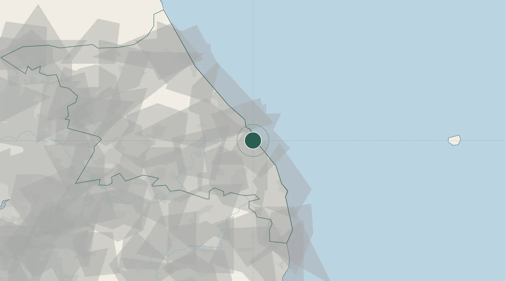
Nearby Logistics Neighbours

Cities
  1. 1Donghae2 km
  2. 2Mukho/Donghae5 km
  3. 3Tonghae5 km
  4. 4Samcheok9 km
  5. 5Okgye/Gangneung14 km
Nearest neighbours — logibook spatial index (haversine) over the source coordinates
Ports
  1. 1Tonghae4 km
  2. 2Mukho8 km
  3. 3Sokch'o Hang91 km
  4. 4Pohang163 km
  5. 5Pyeongtaek Hang214 km
Nearest neighbours — logibook spatial index (haversine) over the source coordinates
Airports
  1. 1Gangneung Airport (K-18)33 km
  2. 2Yangyang International Airport75 km
  3. 3Wonju Airport / Hoengseong Air Base (K-38/K-46)104 km
  4. 4Yecheon Airbase119 km
  5. 5Jungwon Air Base/Chungju Airport122 km
Nearest neighbours — logibook spatial index (haversine) over the source coordinates
DatabookThe Record of Consolidated Knowledge
South Korea beyond logistics?
Browse databook

All Sources

LocationsUN/LOCODE
UN/LOCODE — free
Portsthe NGA World Port Index
Public domain (US gov)
AirportsOurAirports
Public domain
Trade Zonesthe World Bank SEZ database
CC BY 4.0
Trade ZonesOpen Zone Map
CC BY
← South Korea locations