Transport Functions
Port
Hub Profile
Place type
Populated place
Region
Chungcheongnam-do
Time zone
Asia/Seoul
Elevation
13 m
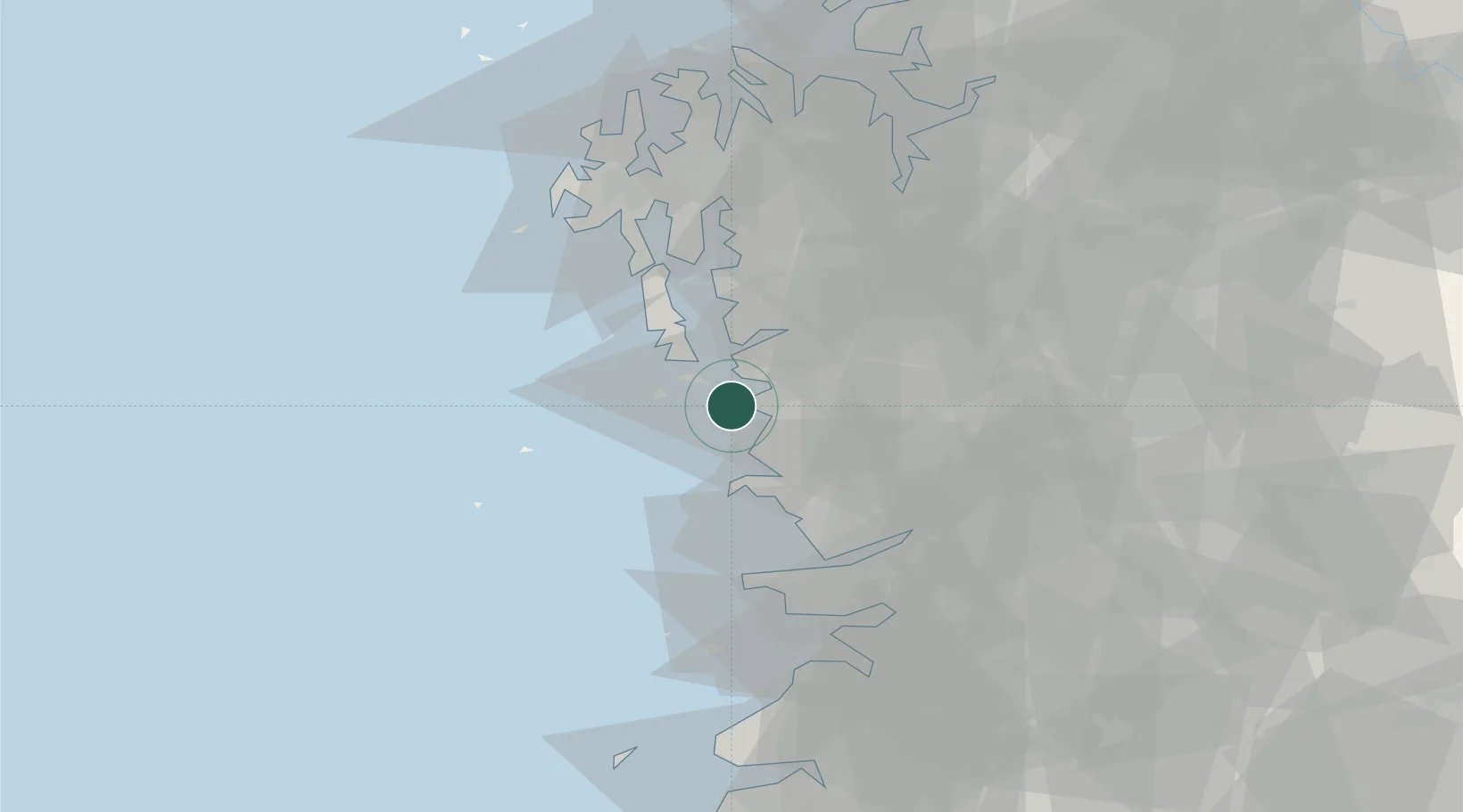
Location
Nearby Logistics Neighbours
Cities
- 1Boryeong0 km
- 2Biin22 km
- 3Cheongyang-gun31 km
- 4Hongseong-gun34 km
- 5Buyeo-gun36 km
Ports
- 1Kunsan39 km
- 2Daesan Hang78 km
- 3Pyeongtaek Hang81 km
- 4Inchon128 km
- 5Mokpo171 km
Airports
DatabookThe Record of Consolidated Knowledge
South Korea beyond logistics?