Transport Functions
Multimodal
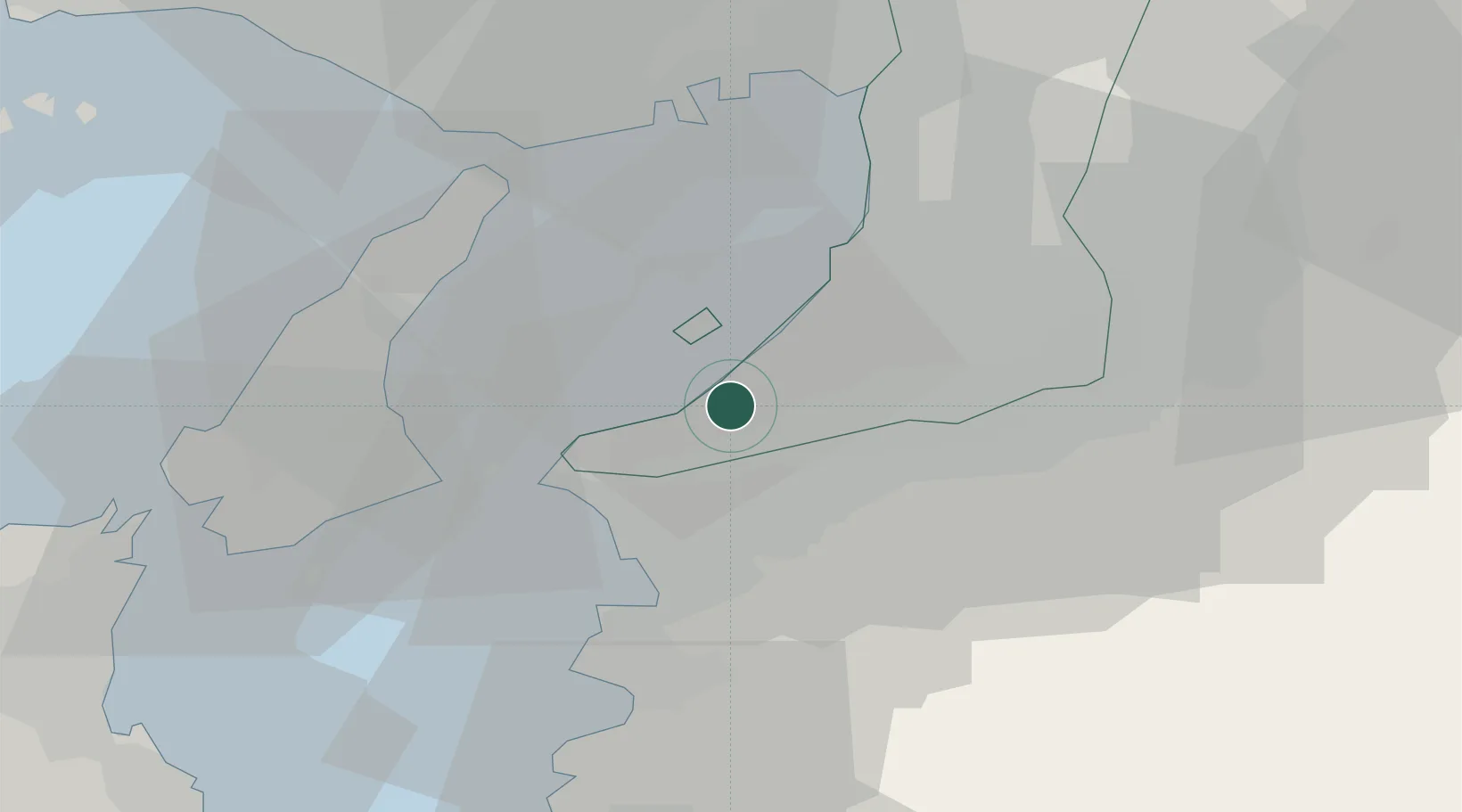
Hub Profile
Place type
Provincial seat
Region
Osaka
Population
60,102
Time zone
Asia/Tokyo
Elevation
29 m
Location
Nearby Logistics Neighbours
Ports
- 1Hannan Ko15 km
- 2Wakayama-Shimotsu Ko21 km
- 3Sakai-Senboku27 km
- 4Kobe34 km
- 5Osaka37 km
Airports
Trade Zones
- 1Rinku Town Izumisano City Area Regional Revitalization Comprehensive Special Zone7 km
- 2Wakayama Prefecture "Takano Kumano" Cultural and Regional Promotion Comprehensive Special Zone33 km
- 3Awaji Environmental Future Island Special Zone34 km
- 4Kansai Innovation International Strategic Comprehensive Special Zone42 km
- 5Nara Park Tourist Area Revitalization Comprehensive Special Zone65 km
DatabookThe Record of Consolidated Knowledge
Japan beyond logistics?