Transport Functions
Port
Hub Profile
Region
27
Location
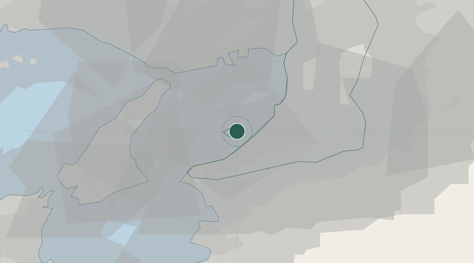
Nearby Logistics Neighbours
Cities
- 1Sennan9 km
- 2Sakaisenboku17 km
- 3Kinokawa21 km
- 4Iwade21 km
- 5Wakayama27 km
Ports
- 1Hannan Ko10 km
- 2Sakai-Senboku21 km
- 3Kobe25 km
- 4Wakayama-Shimotsu Ko28 km
- 5Osaka29 km
Airports
Trade Zones
- 1Rinku Town Izumisano City Area Regional Revitalization Comprehensive Special Zone6 km
- 2Awaji Environmental Future Island Special Zone34 km
- 3Kansai Innovation International Strategic Comprehensive Special Zone35 km
- 4Wakayama Prefecture "Takano Kumano" Cultural and Regional Promotion Comprehensive Special Zone39 km
- 5Nara Park Tourist Area Revitalization Comprehensive Special Zone61 km
DatabookThe Record of Consolidated Knowledge
Japan beyond logistics?