Transport Functions
Multimodal
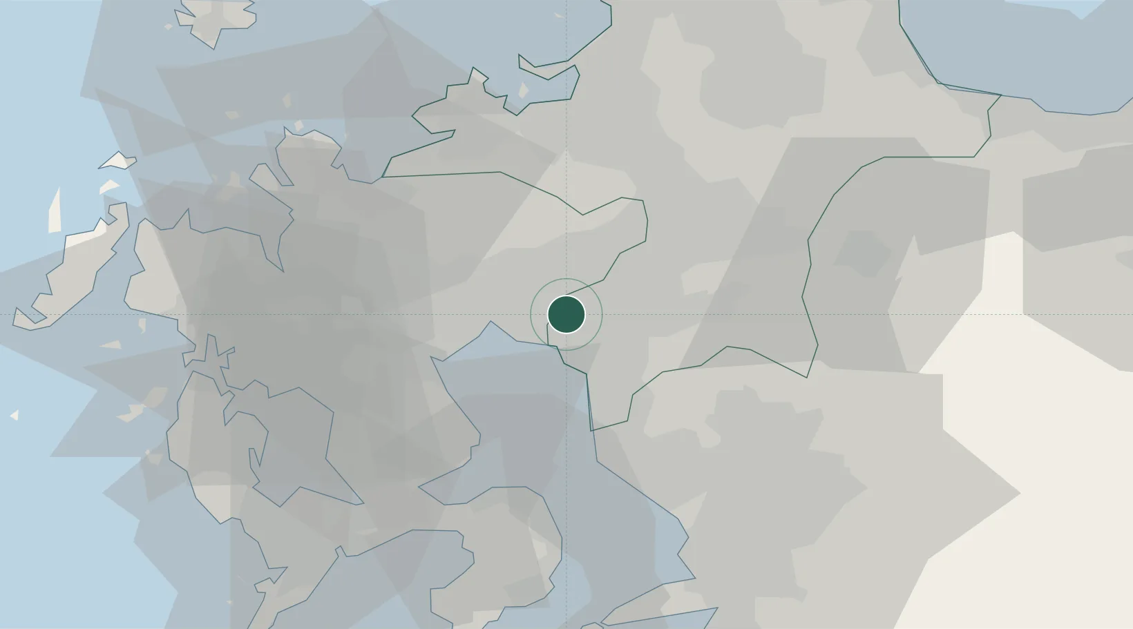
Hub Profile
Place type
Provincial seat
Region
Fukuoka
Population
39,223
Time zone
Asia/Tokyo
Elevation
4 m
Location
Nearby Logistics Neighbours
Cities
- 1Miyama, Fukuoka10 km
- 2Chikugo, Fukuoka11 km
- 3Miyaki14 km
- 4Yame, Fukuoka16 km
- 5Ogi19 km
Airports
- 1Kyushu Saga International Airport9 km
- 2Fukuoka Airport43 km
- 3Nagasaki Airport54 km
- 4Kumamoto Airport60 km
- 5JASDF Ashiya Air Base80 km
DatabookThe Record of Consolidated Knowledge
Japan beyond logistics?