Transport Functions
Multimodal
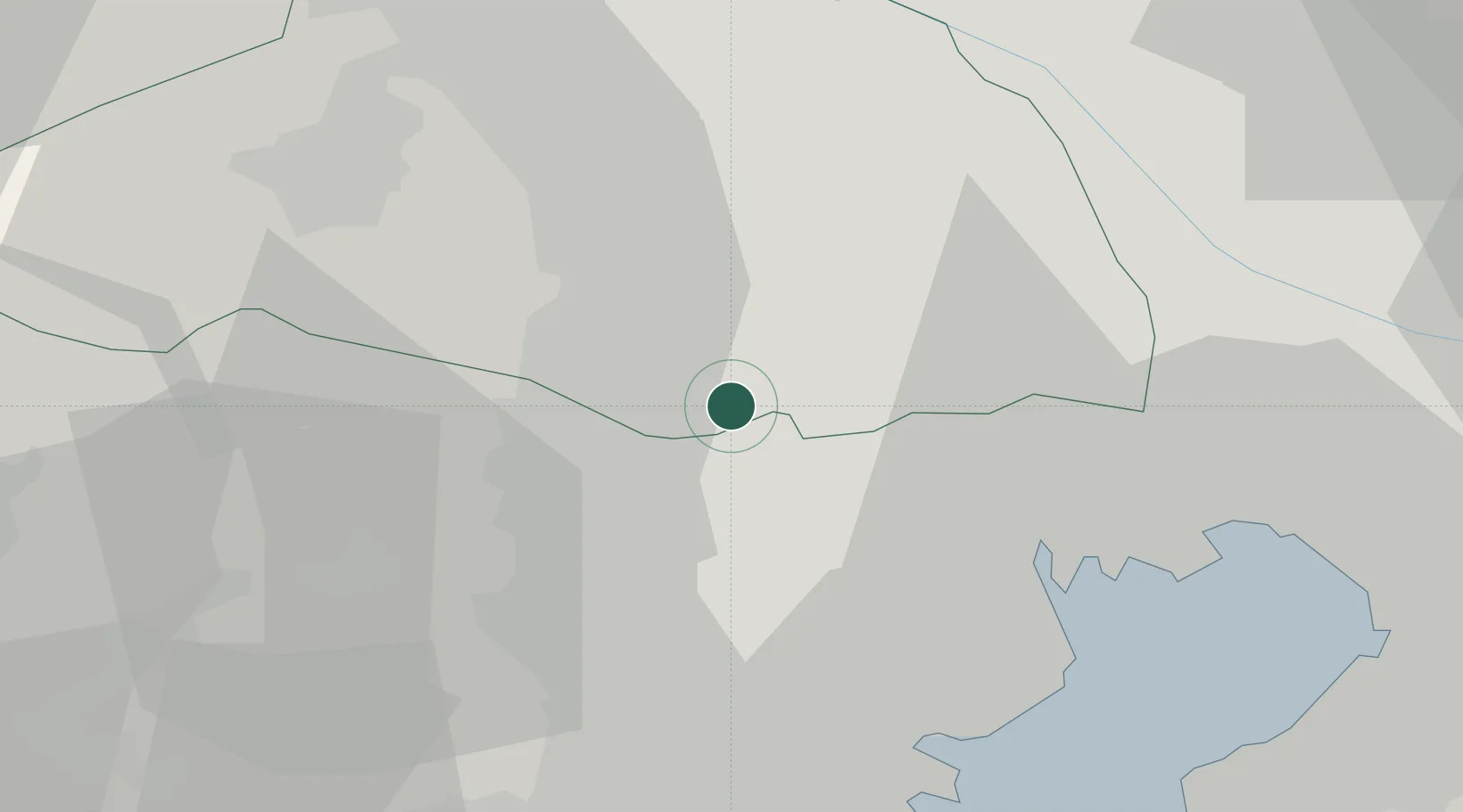
Hub Profile
Place type
Provincial seat
Region
Saitama
Population
344,194
Time zone
Asia/Tokyo
Elevation
82 m
Location
Nearby Logistics Neighbours
Cities
- 1Higashimurayama4 km
- 2Hiagashiyamato7 km
- 3Kodaira, Tokyo7 km
- 4Kokubunji9 km
- 5Asaka, Saitama11 km
Ports
- 1Tokyo Ko29 km
- 2Yokohama Ko39 km
- 3Kawasaki Ko42 km
- 4Funabashi46 km
- 5Yokosuka Ko59 km
Airports
DatabookThe Record of Consolidated Knowledge
Japan beyond logistics?