Transport Functions
Rail
Road
Hub Profile
Region
11
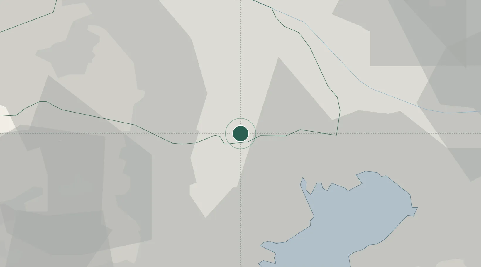
Location
Nearby Logistics Neighbours
Ports
- 1Tokyo Ko20 km
- 2Funabashi36 km
- 3Kawasaki Ko36 km
- 4Yokohama Ko37 km
- 5Chiba Ko49 km
Airports
DatabookThe Record of Consolidated Knowledge
Japan beyond logistics?