UN/LOCODE hub · Japan
JPHGM
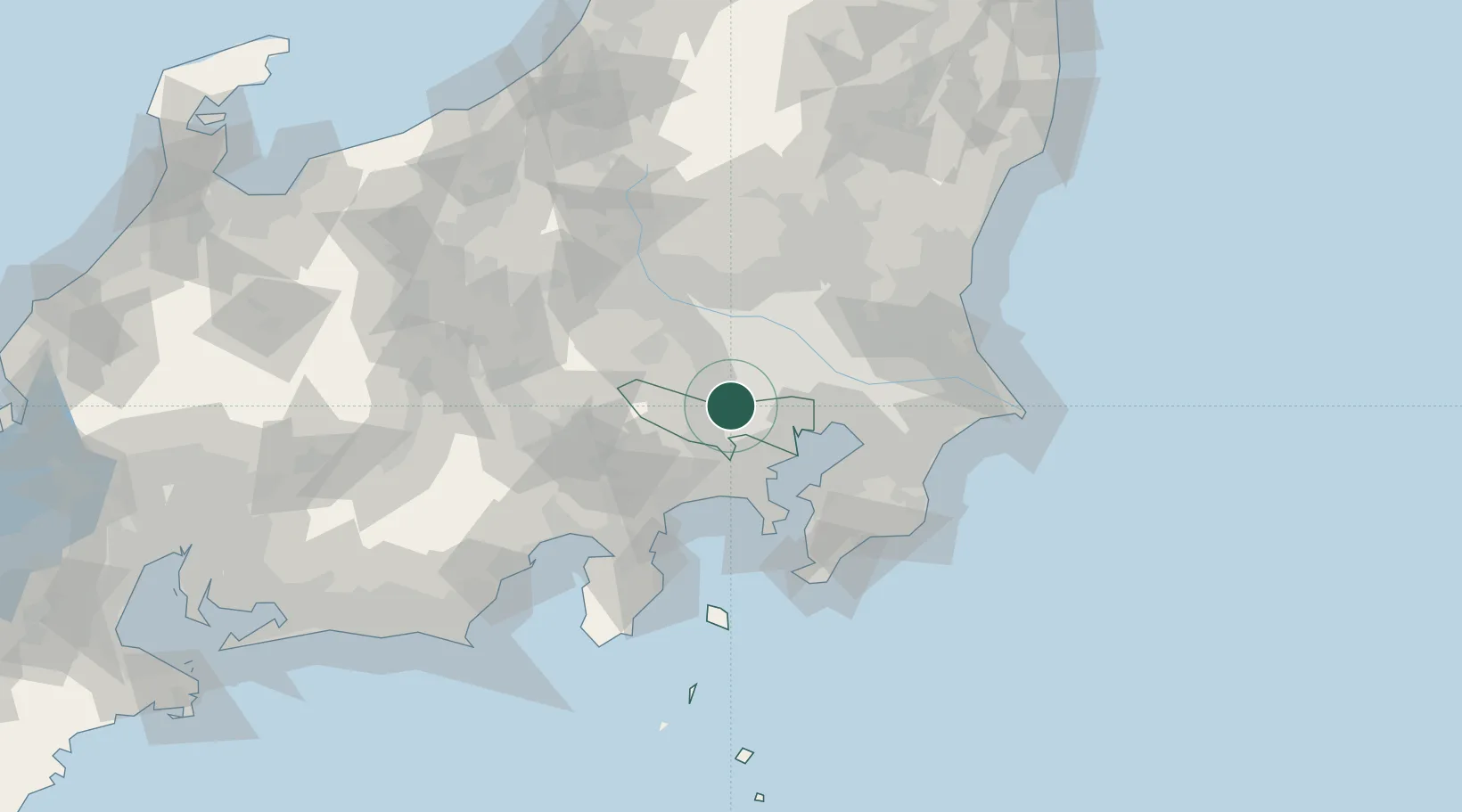
Higashimurayama
35.7500°, 139.4667°
151,815
Population
1
Transport functions
Transport Functions
Multimodal
Hub Profile
Place type
Provincial seat
Region
Tokyo
Population
151,815
Time zone
Asia/Tokyo
Elevation
82 m
Location
Nearby Logistics Neighbours
Cities
- 1Kodaira, Tokyo4 km
- 2Tokorozawa4 km
- 3Hiagashiyamato5 km
- 4Kokubunji6 km
- 5Kunitachi8 km
Ports
- 1Tokyo Ko27 km
- 2Yokohama Ko35 km
- 3Kawasaki Ko39 km
- 4Funabashi45 km
- 5Yokosuka Ko55 km
Airports
DatabookThe Record of Consolidated Knowledge
Japan beyond logistics?