Transport Functions
Multimodal
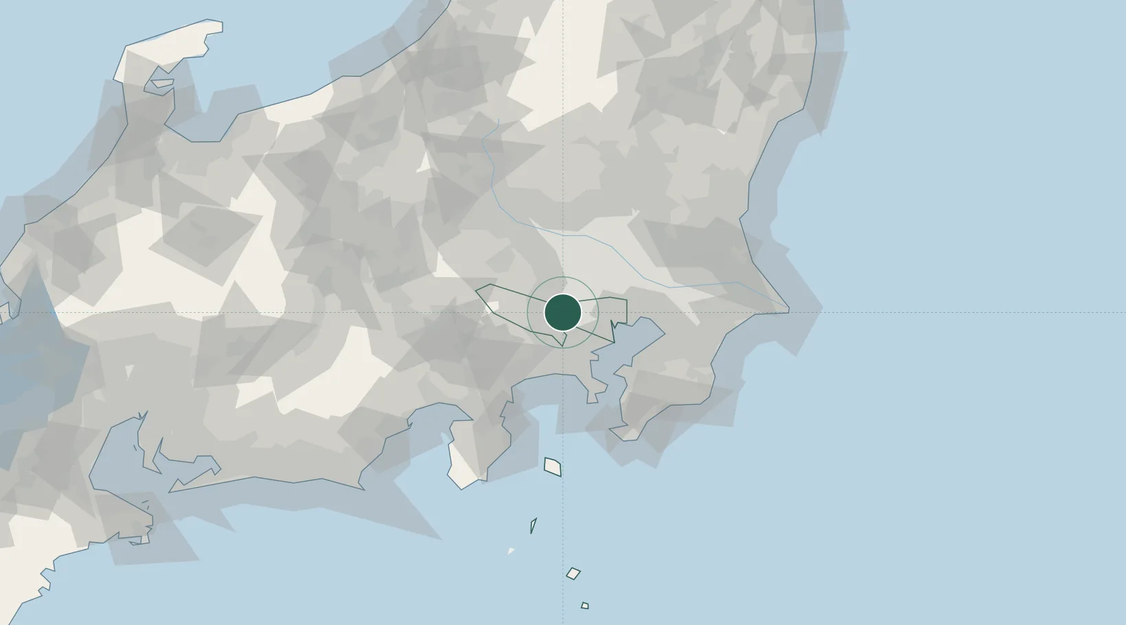
Hub Profile
Place type
Provincial seat
Region
Tokyo
Population
129,242
Time zone
Asia/Tokyo
Elevation
78 m
Location
Nearby Logistics Neighbours
Cities
- 1Kodaira, Tokyo2 km
- 2Kunitachi4 km
- 3Fuchu-shi4 km
- 4Tachikawa5 km
- 5Higashimurayama6 km
Ports
- 1Tokyo Ko26 km
- 2Yokohama Ko30 km
- 3Kawasaki Ko35 km
- 4Funabashi44 km
- 5Yokosuka Ko50 km
Airports
DatabookThe Record of Consolidated Knowledge
Japan beyond logistics?