Transport Functions
Road
Multimodal
Hub Profile
Region
13
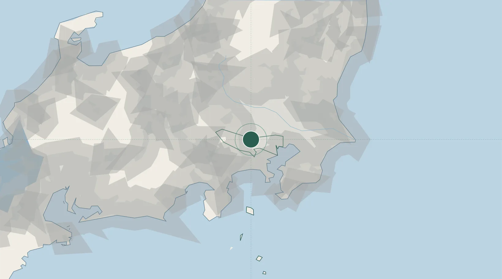
Location
Nearby Logistics Neighbours
Cities
- 1Higashimurayama5 km
- 2Kodaira, Tokyo5 km
- 3Tachikawa6 km
- 4Kunitachi6 km
- 5Kokubunji6 km
Ports
- 1Tokyo Ko31 km
- 2Yokohama Ko35 km
- 3Kawasaki Ko41 km
- 4Funabashi49 km
- 5Yokosuka Ko55 km
Airports
DatabookThe Record of Consolidated Knowledge
Japan beyond logistics?