Transport Functions
Multimodal
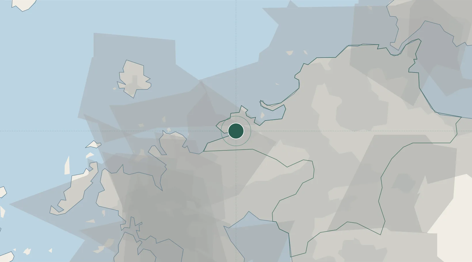
Hub Profile
Region
40
Location
Nearby Logistics Neighbours
Cities
- 1Hakata/Fukuoka23 km
- 2Tobo24 km
- 3Onojo28 km
- 4Kasuya29 km
- 5Sue30 km
Airports
- 1Fukuoka Airport25 km
- 2Iki Airport43 km
- 3Kyushu Saga International Airport46 km
- 4JASDF Ashiya Air Base57 km
- 5Nagasaki Airport75 km
DatabookThe Record of Consolidated Knowledge
Japan beyond logistics?