Transport Functions
Multimodal
Hub Profile
Region
28
Location
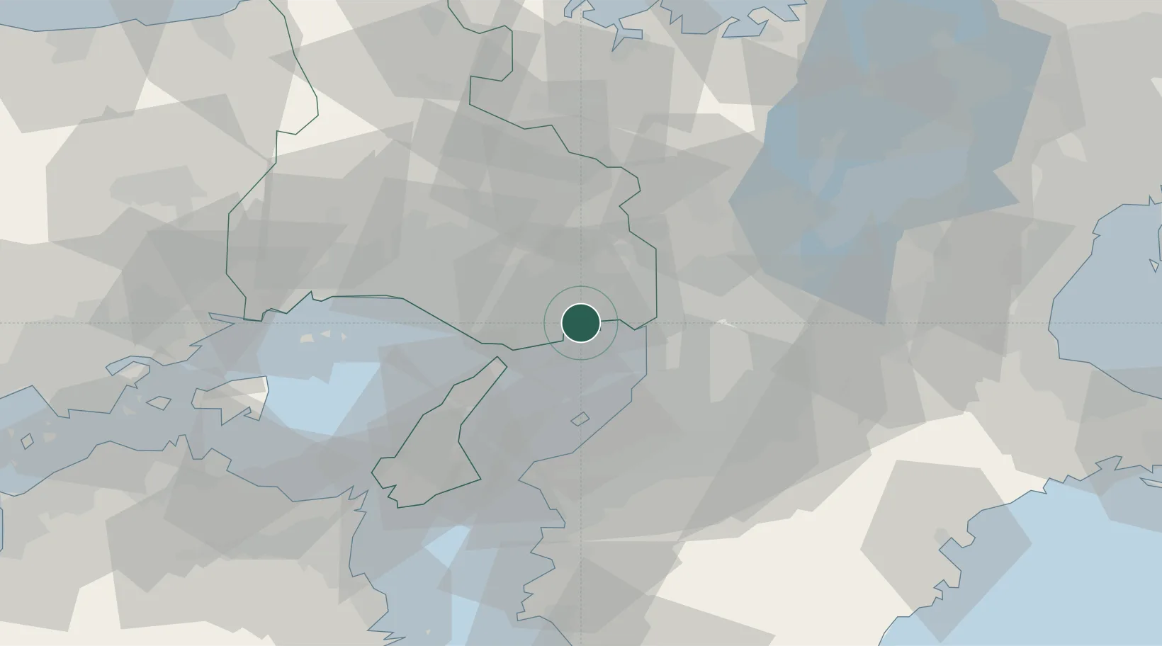
Nearby Logistics Neighbours
Cities
- 1Kobe3 km
- 2Hyogo7 km
- 3Ashiya, Hyogo9 km
- 4AmagasakiNishinomiyaAshiya17 km
- 5Itami/Hyogo18 km
Ports
- 1Kobe7 km
- 2Amagasaki14 km
- 3Osaka19 km
- 4Sakai-Senboku25 km
- 5Hannan Ko28 km
Airports
Trade Zones
- 1Kansai Innovation International Strategic Comprehensive Special Zone23 km
- 2Rinku Town Izumisano City Area Regional Revitalization Comprehensive Special Zone34 km
- 3Awaji Environmental Future Island Special Zone50 km
- 4Nara Park Tourist Area Revitalization Comprehensive Special Zone56 km
- 5Wakayama Prefecture "Takano Kumano" Cultural and Regional Promotion Comprehensive Special Zone63 km
DatabookThe Record of Consolidated Knowledge
Japan beyond logistics?