Transport Functions
Rail
Road
Hub Profile
Region
28
Location
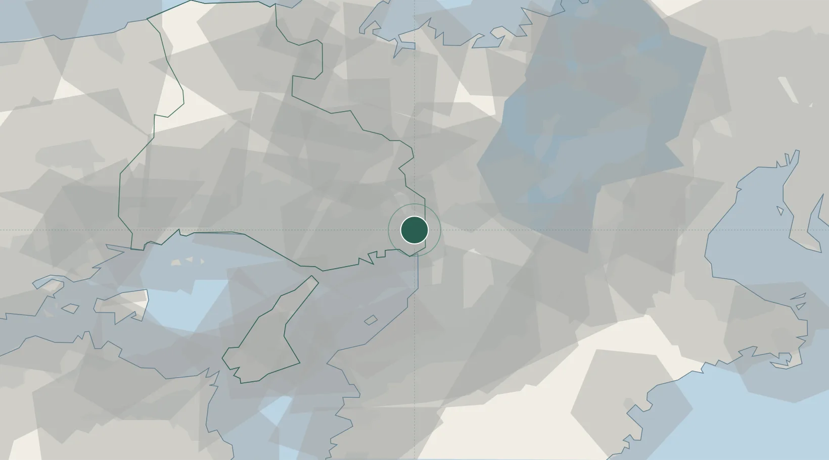
Nearby Logistics Neighbours
Cities
- 1AmagasakiNishinomiyaAshiya8 km
- 2Minoo8 km
- 3Ashiya, Hyogo9 km
- 4Konohana-Ku, Osaka13 km
- 5Settsu14 km
Ports
- 1Amagasaki9 km
- 2Osaka15 km
- 3Kobe25 km
- 4Sakai-Senboku26 km
- 5Hannan Ko36 km
Airports
- 1Osaka Itami International Airport4 km
- 2Kobe Airport23 km
- 3Yao Airport28 km
- 4Kansai International Airport42 km
- 5Konotori Tajima Airport98 km
Trade Zones
- 1Kansai Innovation International Strategic Comprehensive Special Zone13 km
- 2Nara Park Tourist Area Revitalization Comprehensive Special Zone42 km
- 3Rinku Town Izumisano City Area Regional Revitalization Comprehensive Special Zone43 km
- 4Kyoto City Regional Revitalization Comprehensive Special Zone48 km
- 5Lake Biwa Southern Area New Industry Creation Special Zone51 km
DatabookThe Record of Consolidated Knowledge
Japan beyond logistics?