Transport Functions
Multimodal
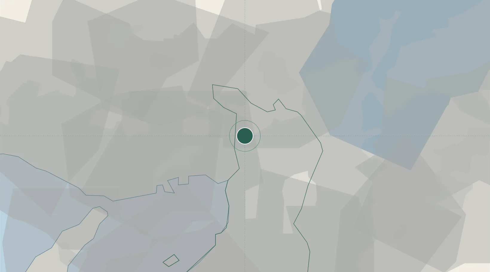
Hub Profile
Place type
Populated place
Region
Chiba
Time zone
Asia/Tokyo
Elevation
24 m
Location
Nearby Logistics Neighbours
Cities
- 1Itami/Hyogo8 km
- 2Settsu11 km
- 3AmagasakiNishinomiyaAshiya14 km
- 4Takatsuki14 km
- 5Kadoma15 km
Ports
- 1Amagasaki17 km
- 2Osaka21 km
- 3Sakai-Senboku32 km
- 4Kobe33 km
- 5Hannan Ko42 km
Airports
- 1Osaka Itami International Airport6 km
- 2Yao Airport29 km
- 3Kobe Airport31 km
- 4Kansai International Airport50 km
- 5Konotori Tajima Airport98 km
Trade Zones
- 1Kansai Innovation International Strategic Comprehensive Special Zone16 km
- 2Nara Park Tourist Area Revitalization Comprehensive Special Zone38 km
- 3Kyoto City Regional Revitalization Comprehensive Special Zone39 km
- 4Lake Biwa Southern Area New Industry Creation Special Zone43 km
- 5Rinku Town Izumisano City Area Regional Revitalization Comprehensive Special Zone50 km
DatabookThe Record of Consolidated Knowledge
Japan beyond logistics?