Transport Functions
Rail
Road
Hub Profile
Region
13
Location
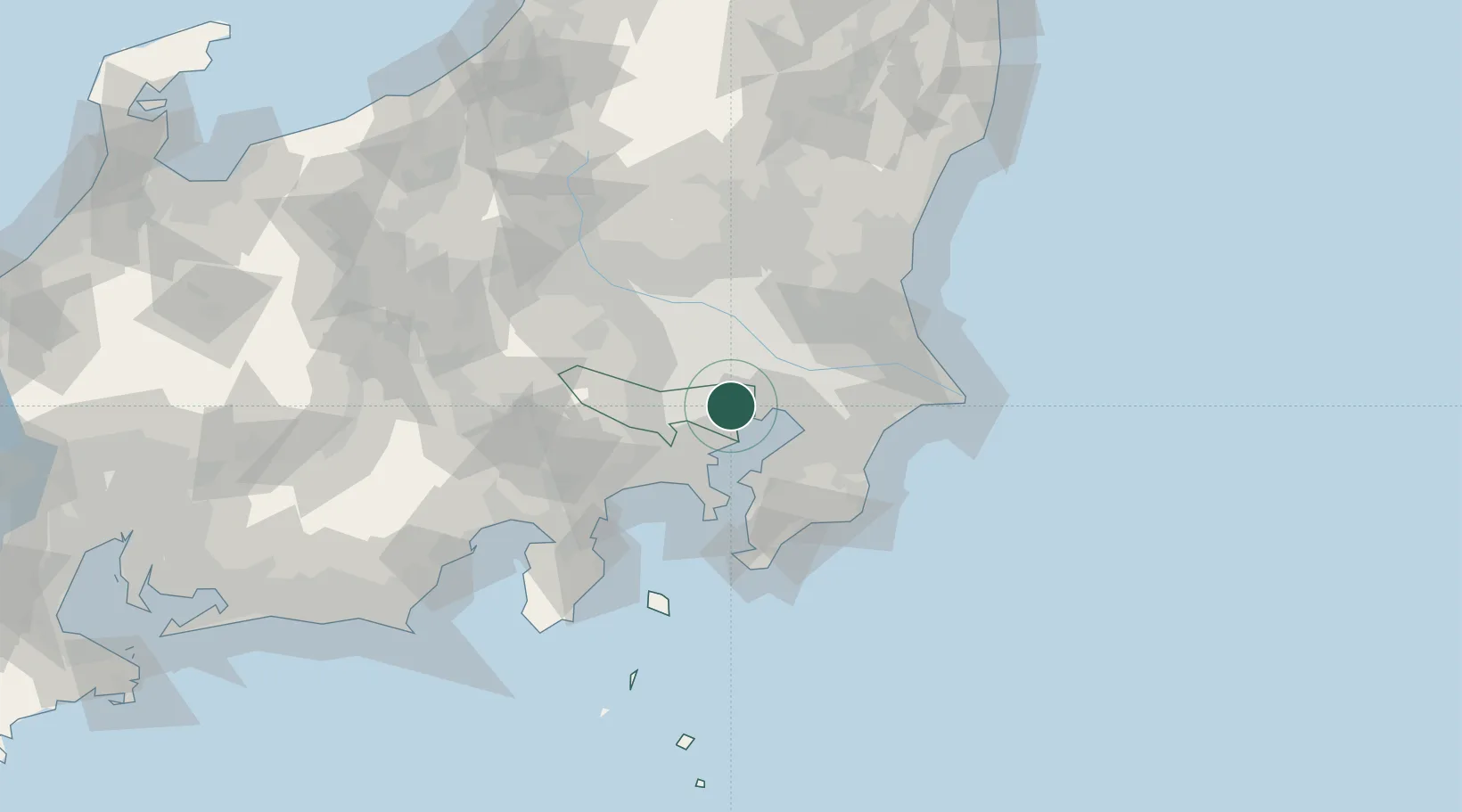
Nearby Logistics Neighbours
Cities
- 1Shinjuku-ku3 km
- 2Sumida Tokyo5 km
- 3Shibuya Tokyo6 km
- 4Tokyo-To6 km
- 5Ariake, Tokyo6 km
Ports
- 1Tokyo Ko2 km
- 2Funabashi18 km
- 3Kawasaki Ko20 km
- 4Yokohama Ko30 km
- 5Chiba Ko31 km
Airports
- 1Tokyo Haneda International Airport15 km
- 2Chofu Airport20 km
- 3JMSDF Shimofusa Air Base27 km
- 4JGSDF Kisarazu Airfield35 km
- 5Iruma Air Base35 km
Trade Zones
- 1Tokyo Area National Strategic Special Zone3 km
- 2Special International Zone for Asian Headquarters7 km
- 3KING Skyfront, Tonomachi International Strategic Zone16 km
- 4Keihin Coastal Area Life Innovation International Strategic Comprehensive Special Zone24 km
- 5Saitama Next-Generation Automobile Smart Energy Special Zone26 km
DatabookThe Record of Consolidated Knowledge
Japan beyond logistics?