Transport Functions
Port
Road
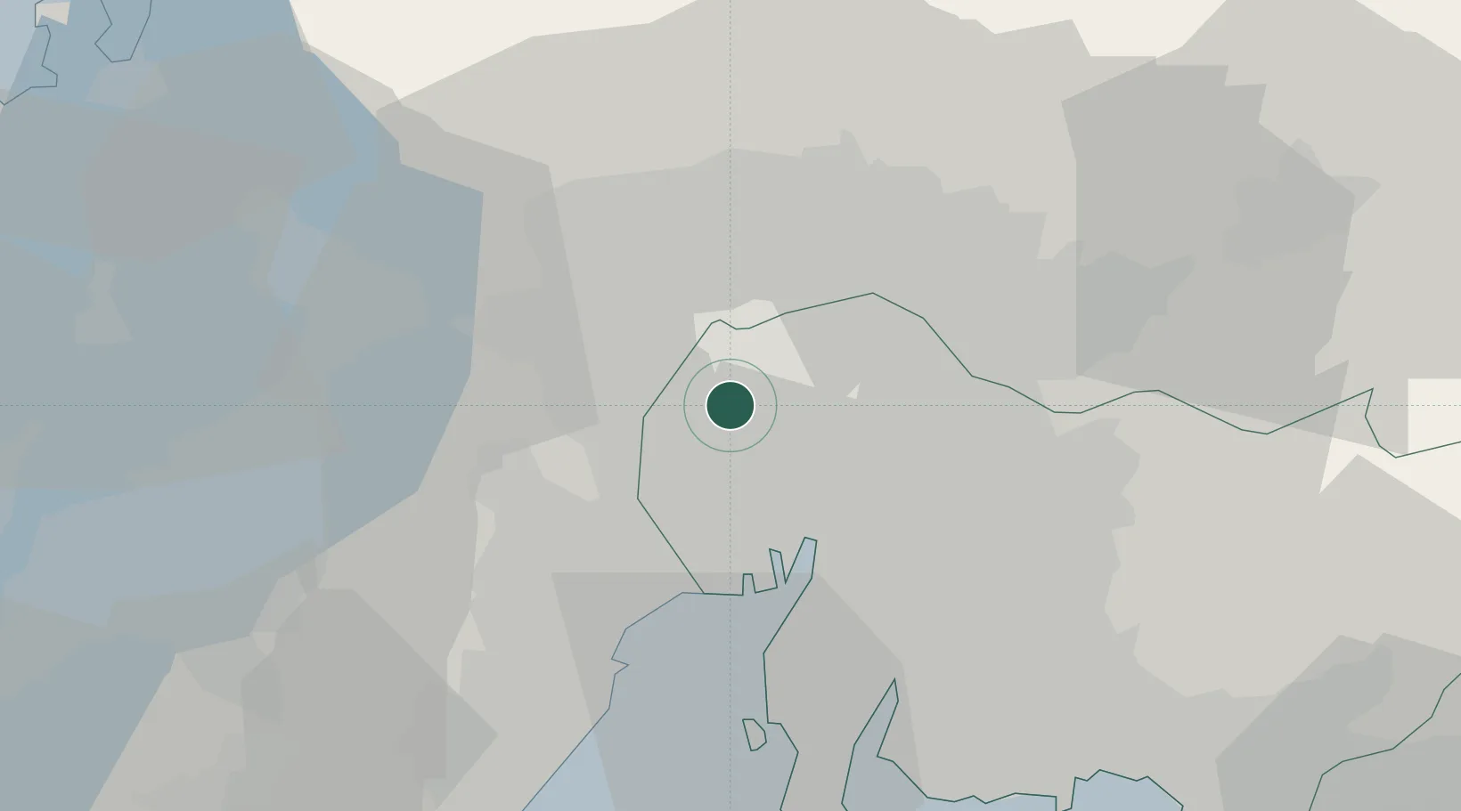
Hub Profile
Place type
Provincial seat
Region
Aichi
Population
134,751
Time zone
Asia/Tokyo
Elevation
4 m
Location
Nearby Logistics Neighbours
Cities
- 1Kiyosu Aichi6 km
- 2Kitanagoya6 km
- 3Iwakura Aichi8 km
- 4Tsushima, Aichi11 km
- 5Toyoyama, Aichi12 km
Ports
- 1Nagoya Ko22 km
- 2Yokkaichi34 km
- 3Kinuura Ko47 km
- 4Gamagori Ko62 km
- 5Atsumi70 km
Airports
- 1Nagoya Airport / JASDF Komaki Air Base13 km
- 2Gifu Airport18 km
- 3Chubu Centrair International Airport44 km
- 4JASDF Hamamatsu Air Base101 km
- 5Fukui Airport111 km
DatabookThe Record of Consolidated Knowledge
Japan beyond logistics?