Transport Functions
Multimodal
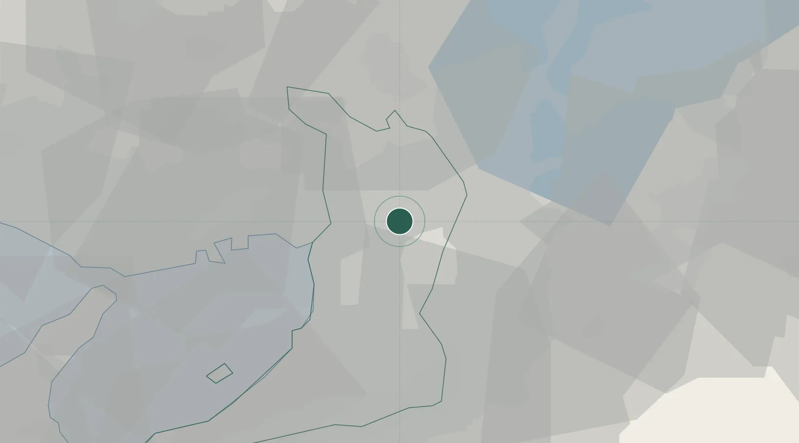
Hub Profile
Place type
Provincial seat
Region
Osaka
Population
131,727
Time zone
Asia/Tokyo
Elevation
8 m
Location
Nearby Logistics Neighbours
Cities
- 1Settsu5 km
- 2Daito, Osaka5 km
- 3Higashiosaka City7 km
- 4Osaka-Fu8 km
- 5Ikoma12 km
Ports
- 1Osaka17 km
- 2Amagasaki19 km
- 3Sakai-Senboku25 km
- 4Hannan Ko37 km
- 5Kobe38 km
Airports
Trade Zones
- 1Kansai Innovation International Strategic Comprehensive Special Zone10 km
- 2Nara Park Tourist Area Revitalization Comprehensive Special Zone24 km
- 3Lake Biwa Southern Area New Industry Creation Special Zone40 km
- 4Kyoto City Regional Revitalization Comprehensive Special Zone41 km
- 5Rinku Town Izumisano City Area Regional Revitalization Comprehensive Special Zone45 km
DatabookThe Record of Consolidated Knowledge
Japan beyond logistics?