Transport Functions
Port
Hub Profile
Region
28
Location
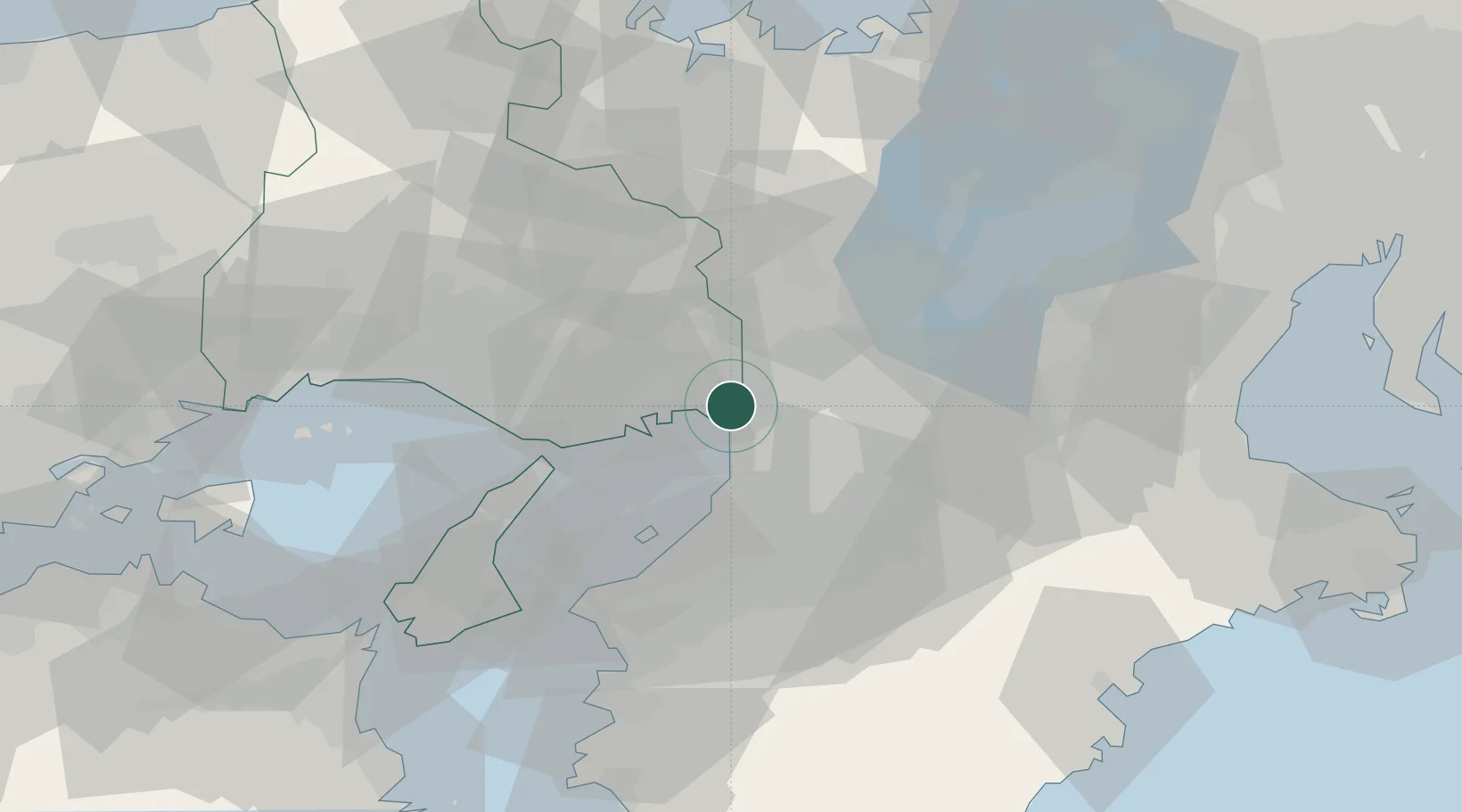
Nearby Logistics Neighbours
Cities
- 1Konohana-Ku, Osaka6 km
- 2Minato-Ku, Osaka7 km
- 3Itami/Hyogo8 km
- 4Osaka8 km
- 5Ashiya, Hyogo9 km
Ports
- 1Amagasaki4 km
- 2Osaka8 km
- 3Sakai-Senboku19 km
- 4Kobe23 km
- 5Hannan Ko29 km
Airports
Trade Zones
- 1Kansai Innovation International Strategic Comprehensive Special Zone7 km
- 2Rinku Town Izumisano City Area Regional Revitalization Comprehensive Special Zone37 km
- 3Nara Park Tourist Area Revitalization Comprehensive Special Zone39 km
- 4Kyoto City Regional Revitalization Comprehensive Special Zone52 km
- 5Lake Biwa Southern Area New Industry Creation Special Zone53 km
DatabookThe Record of Consolidated Knowledge
Japan beyond logistics?