Transport Functions
Multimodal
Hub Profile
Region
27
Location
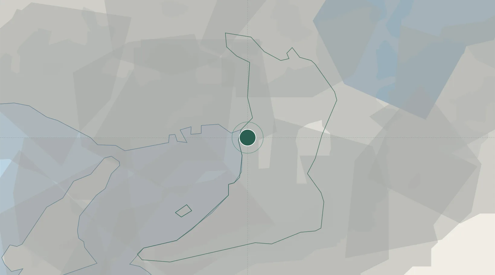
Nearby Logistics Neighbours
Cities
- 1Minato-Ku, Osaka3 km
- 2Osaka3 km
- 3AmagasakiNishinomiyaAshiya6 km
- 4Toyonaka6 km
- 5Osaka-Fu8 km
Ports
- 1Osaka2 km
- 2Amagasaki6 km
- 3Sakai-Senboku13 km
- 4Kobe23 km
- 5Hannan Ko24 km
Airports
Trade Zones
- 1Kansai Innovation International Strategic Comprehensive Special Zone5 km
- 2Rinku Town Izumisano City Area Regional Revitalization Comprehensive Special Zone32 km
- 3Nara Park Tourist Area Revitalization Comprehensive Special Zone38 km
- 4Wakayama Prefecture "Takano Kumano" Cultural and Regional Promotion Comprehensive Special Zone52 km
- 5Lake Biwa Southern Area New Industry Creation Special Zone55 km
DatabookThe Record of Consolidated Knowledge
Japan beyond logistics?