Transport Functions
Multimodal
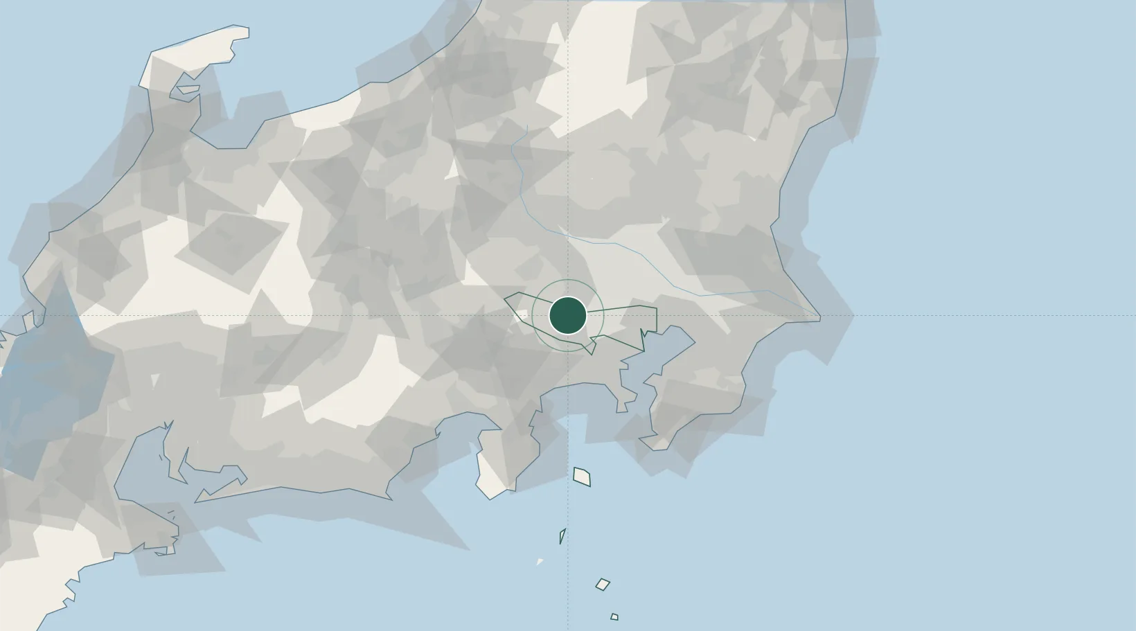
Hub Profile
Place type
Provincial seat
Region
Tokyo
Population
56,786
Time zone
Asia/Tokyo
Elevation
117 m
Location
Nearby Logistics Neighbours
Cities
- 1Hamura4 km
- 2Hiagashiyamato9 km
- 3Hachioji9 km
- 4Hino, Tokyo11 km
- 5Tachikawa11 km
Ports
- 1Yokohama Ko40 km
- 2Tokyo Ko40 km
- 3Kawasaki Ko48 km
- 4Funabashi58 km
- 5Yokosuka Ko59 km
Airports
DatabookThe Record of Consolidated Knowledge
Japan beyond logistics?