Transport Functions
Multimodal
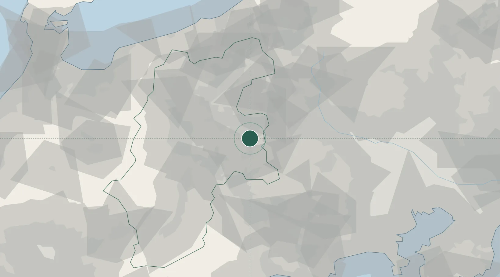
Hub Profile
Region
20
Location
Nearby Logistics Neighbours
Cities
- 1Karuizawa, Nagano18 km
- 2Tsumagoi, Gunma34 km
- 3Aoki, Nagano36 km
- 4Annaka39 km
- 5Chino40 km
Ports
- 1Himekawa107 km
- 2Naoetsu Ko110 km
- 3Tagonoura Ko122 km
- 4Kashiwazaki128 km
- 5Tokyo Ko129 km
Airports
- 1Shinshu-Matsumoto Airport51 km
- 2Iruma Air Base93 km
- 3Yokota Air Base94 km
- 4Chofu Airport112 km
- 5JMSDF Atsugi Air Base / Naval Air Facility Atsugi122 km
Trade Zones
- 1Gunma Cancer Treatment Technology Regional Revitalization Comprehensive Special Zone56 km
- 2Gunma Environmentally Friendly Livestock Promotion Special Zone64 km
- 3Minami-Alps Competitiveness and Sustainability Special Zone68 km
- 4Sagami Robot Industrial Special Zone99 km
- 5Saitama Next-Generation Automobile Smart Energy Special Zone111 km
DatabookThe Record of Consolidated Knowledge
Japan beyond logistics?