Transport Functions
Multimodal
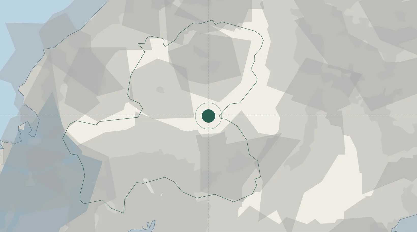
Hub Profile
Region
21
Location
Nearby Logistics Neighbours
Cities
- 1Sakahogi34 km
- 2Kiso, Nagano39 km
- 3Ena42 km
- 4Nakatsugawa42 km
- 5Seki46 km
Ports
- 1Nagoya Ko89 km
- 2Fukui99 km
- 3Kanazawa108 km
- 4Fushiki-Toyama108 km
- 5Tsuruga Ko108 km
Airports
- 1Gifu Airport57 km
- 2Nagoya Airport / JASDF Komaki Air Base67 km
- 3Shinshu-Matsumoto Airport73 km
- 4Toyama Kitokito Airport95 km
- 5Fukui Airport100 km
DatabookThe Record of Consolidated Knowledge
Japan beyond logistics?