Transport Functions
Multimodal
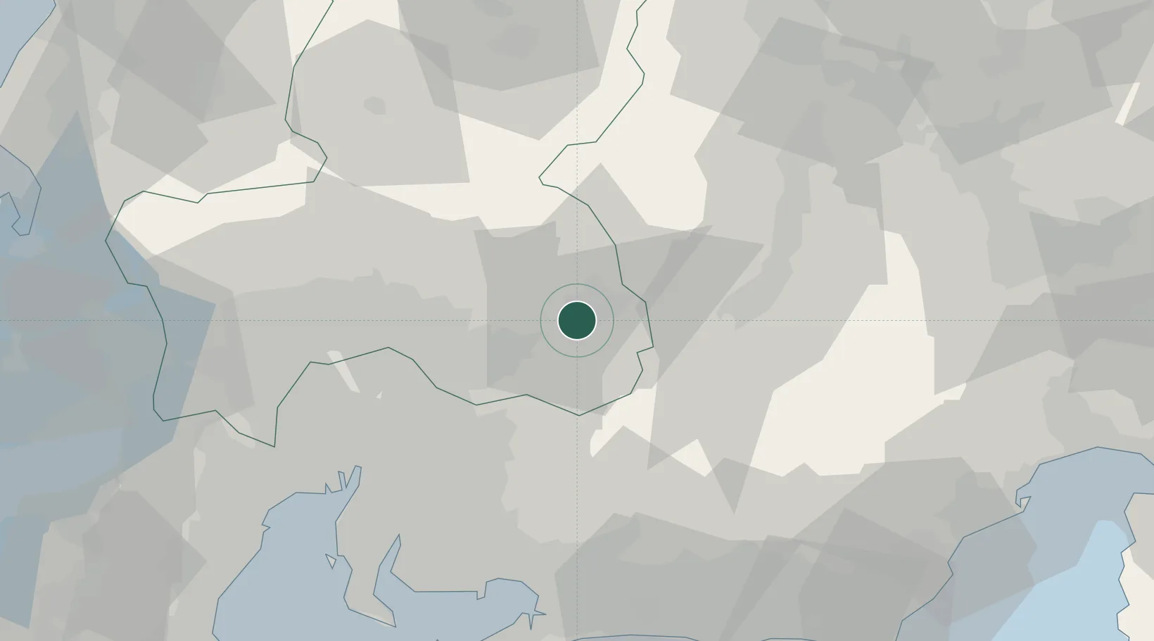
Hub Profile
Place type
Provincial seat
Region
Gifu
Population
48,777
Time zone
Asia/Tokyo
Elevation
358 m
Location
Nearby Logistics Neighbours
Cities
- 1Nakatsugawa8 km
- 2Mizunami18 km
- 3Toki Gifu24 km
- 4Gero, Gifu42 km
- 5Sakahogi42 km
Ports
- 1Nagoya Ko66 km
- 2Gamagori Ko73 km
- 3Kinuura Ko79 km
- 4Mikawa82 km
- 5Yokkaichi89 km
Airports
Trade Zones
DatabookThe Record of Consolidated Knowledge
Japan beyond logistics?