Transport Functions
Multimodal
Hub Profile
Region
23
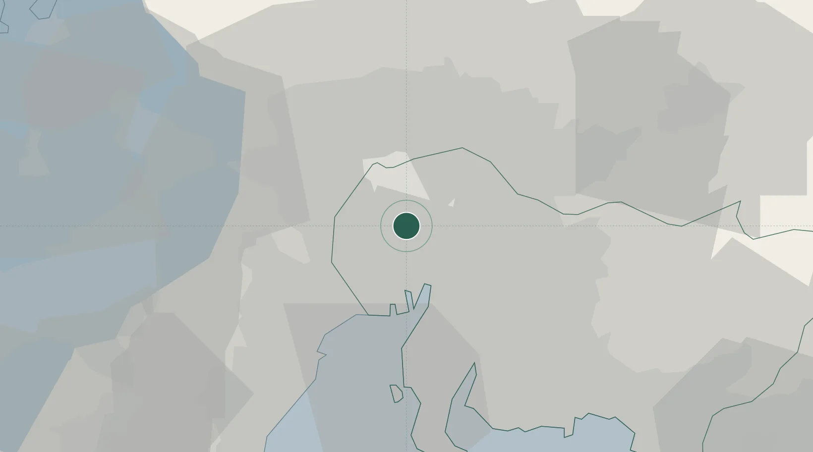
Location
Nearby Logistics Neighbours
Cities
- 1Kitanagoya2 km
- 2Inazawa6 km
- 3Iwakura Aichi8 km
- 4Toyoyama, Aichi8 km
- 5Tsushima, Aichi12 km
Ports
- 1Nagoya Ko17 km
- 2Yokkaichi33 km
- 3Kinuura Ko42 km
- 4Gamagori Ko57 km
- 5Atsumi65 km
Airports
DatabookThe Record of Consolidated Knowledge
Japan beyond logistics?