Transport Functions
Port
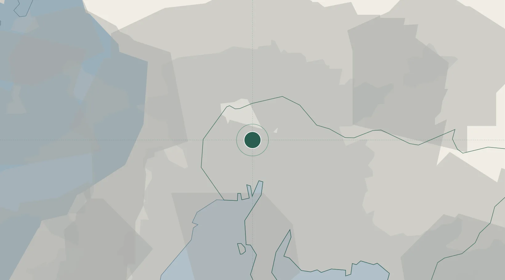
Hub Profile
Place type
Provincial seat
Region
Aichi
Population
86,385
Time zone
Asia/Tokyo
Elevation
8 m
Location
Nearby Logistics Neighbours
Cities
- 1Kiyosu Aichi2 km
- 2Iwakura Aichi6 km
- 3Inazawa6 km
- 4Toyoyama, Aichi6 km
- 5Tsushima, Aichi14 km
Ports
- 1Nagoya Ko19 km
- 2Yokkaichi36 km
- 3Kinuura Ko44 km
- 4Gamagori Ko57 km
- 5Atsumi66 km
Airports
DatabookThe Record of Consolidated Knowledge
Japan beyond logistics?