Transport Functions
Multimodal
Hub Profile
Place type
District seat
Region
Apulia
Population
8,875
Time zone
Europe/Rome
Elevation
108 m
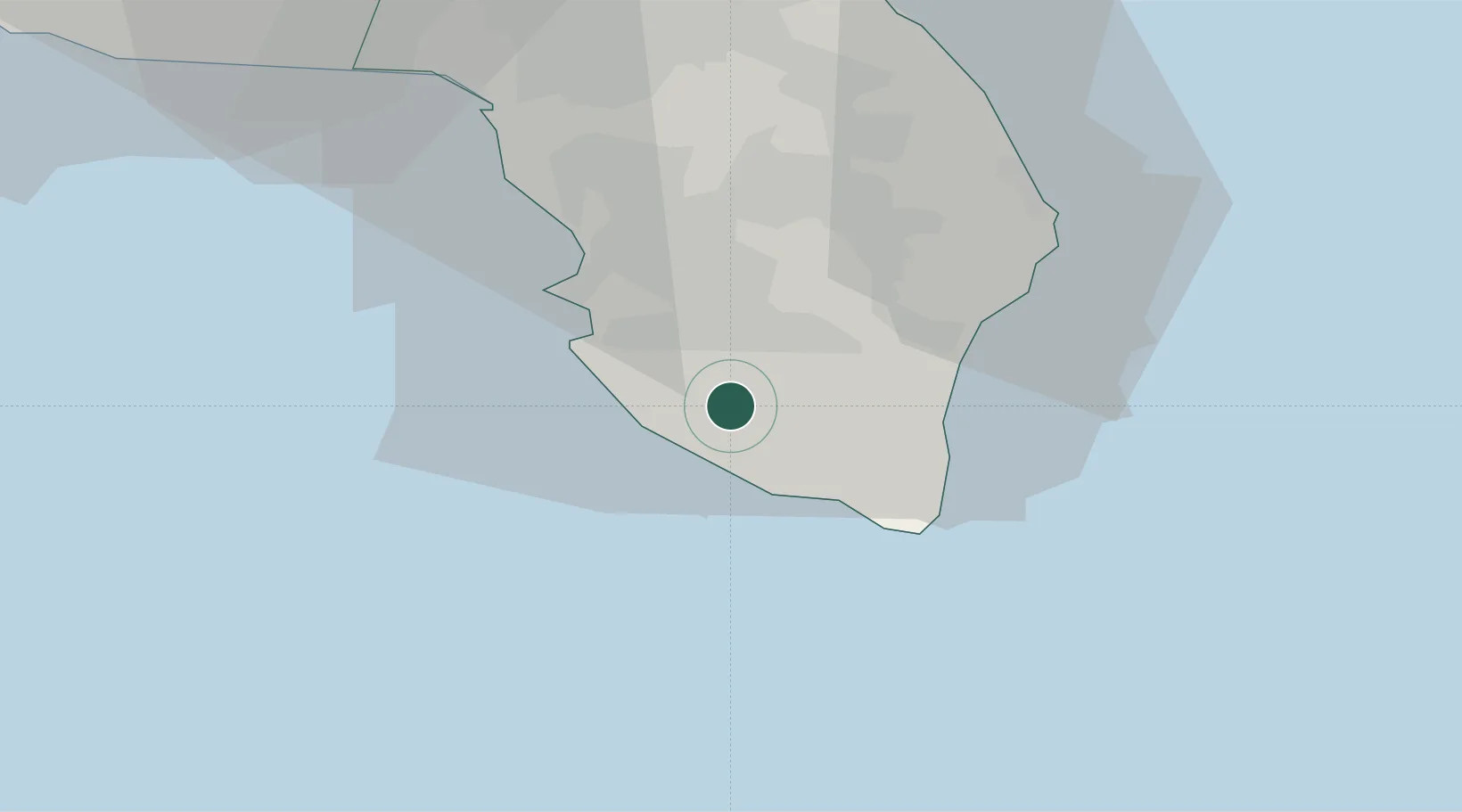
Location
Nearby Logistics Neighbours
Cities
- 1Torre San Giovanni d'Ugento2 km
- 2Casarano7 km
- 3Tricase17 km
- 4Gallipoli20 km
- 5Gagliano del Capo20 km
Ports
- 1Gallipoli21 km
- 2Otranto37 km
- 3Brindisi81 km
- 4Taranto101 km
- 5Ciro Marina108 km
Airports
Trade Zones
DatabookThe Record of Consolidated Knowledge
Italy beyond logistics?