UN/LOCODE hub · Italy
ITTRU

Torre San Giovanni d'Ugento

39.9167°, 18.1500°
2
Transport functions

Transport Functions

Port
Road
UN/LOCODE

Hub Profile

Region
LE
GeoNames

Location

Location of ITTRU
Natural Earth 10m (public domain) · LE · ITTRU · 39.92, 18.15GoogleOSMYandex

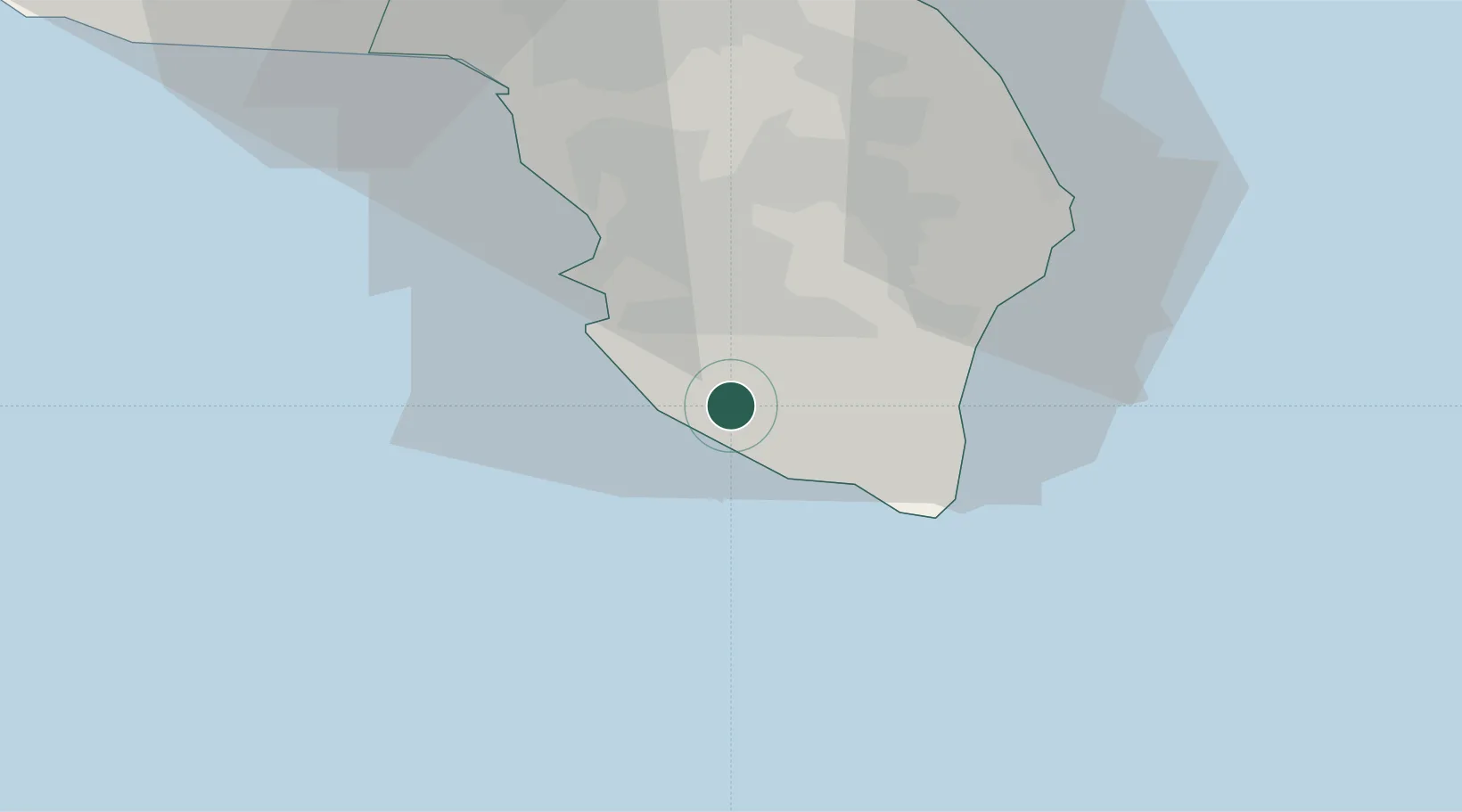
Nearby Logistics Neighbours

Cities
  1. 1Ugento2 km
  2. 2Casarano9 km
  3. 3Tricase19 km
  4. 4Gallipoli21 km
  5. 5Gagliano del Capo21 km
Nearest neighbours — logibook spatial index (haversine) over the source coordinates
Ports
  1. 1Gallipoli21 km
  2. 2Otranto39 km
  3. 3Brindisi83 km
  4. 4Taranto101 km
  5. 5Ciro Marina106 km
Nearest neighbours — logibook spatial index (haversine) over the source coordinates
Trade Zones
  1. 1Vlora Technical and Economic Development Area127 km
  2. 2Fier Freezone150 km
  3. 3Adriatic Special Economic Zone (Foggia-Molise)172 km
  4. 4Gjirokastër Freezone172 km
  5. 5Calabria Special Economic Zone178 km
Nearest neighbours — logibook spatial index (haversine) over the source coordinates
DatabookThe Record of Consolidated Knowledge
Italy beyond logistics?
Browse databook

All Sources

LocationsUN/LOCODE
UN/LOCODE — free
Portsthe NGA World Port Index
Public domain (US gov)
AirportsOurAirports
Public domain
Trade Zonesthe World Bank SEZ database
CC BY 4.0
Trade ZonesOpen Zone Map
CC BY
← Italy locations