Seaport · Italy

Ciro MarinaITMRM

39.3720°, 17.1360°
Ciro Marina is also a UN/LOCODE logistics hub →

Channel & Berth Profile

NGA World Port Index

Facilities & Capabilities

Container
Ro-Ro
Liquid bulk
Dry bulk
Oil terminal
Break bulk
Dry dock
Repairs
Bunkering
Rail link
Dangerous cargo
ISPS security
NGA World Port Index

Harbour Specifications

Harbour size
Small
NGA World Port Index
Water body
Ionian Sea; Mediterranean Sea; North Atlantic Ocean
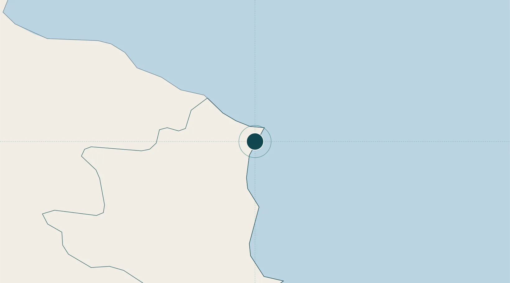
NGA World Port Index

Location

Location of ITMRM
Natural Earth 10m (public domain) · Crotene · ITMRM · 39.37, 17.14GoogleOSMYandex

Nearby Logistics Neighbours

Ports
  1. 1Crotone33 km
  2. 2Corigliano Calabro62 km
  3. 3Gallipoli105 km
  4. 4Vibo Valentia Marina113 km
  5. 5Taranto122 km
Nearest neighbours — logibook spatial index (haversine) over the source coordinates
Cities
  1. 1Cariati21 km
  2. 2Rocca di Neto24 km
  3. 3Crotone32 km
  4. 4Rossano48 km
  5. 5Corigliano Calabro59 km
Nearest neighbours — logibook spatial index (haversine) over the source coordinates
Trade Zones
  1. 1Calabria Special Economic Zone78 km
  2. 2Basilicata Special Economic Zone186 km
  3. 3Adriatic Special Economic Zone (Foggia-Molise)195 km
  4. 4Puglia (Apulia) Special Economic Zone Area223 km
  5. 5Vlora Technical and Economic Development Area233 km
Nearest neighbours — logibook spatial index (haversine) over the source coordinates
DatabookThe Record of Consolidated Knowledge
Italy beyond logistics?
Browse databook

All Sources

Portsthe NGA World Port Index
Public domain (US gov)
AirportsOurAirports
Public domain
LocationsUN/LOCODE
UN/LOCODE — free
Trade Zonesthe World Bank SEZ database
CC BY 4.0
Trade ZonesOpen Zone Map
CC BY
← Italy ports