Transport Functions
Port
Hub Profile
Place type
District seat
Region
Apulia
Population
19,176
Time zone
Europe/Rome
Elevation
12 m
Logistics facilities
1
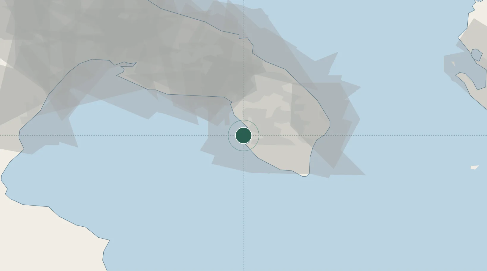
Location
Nearby Logistics Neighbours
Ports
- 1Otranto45 km
- 2Brindisi67 km
- 3Taranto81 km
- 4Ciro Marina105 km
- 5Monopoli116 km
Airports
DatabookThe Record of Consolidated Knowledge
Italy beyond logistics?