Transport Functions
Rail
Road
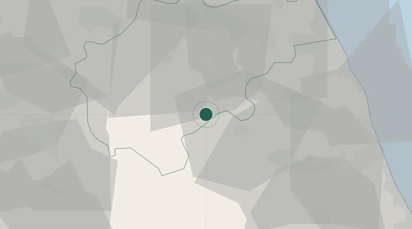
Hub Profile
Place type
District seat
Region
The Marches
Population
1,883
Time zone
Europe/Rome
Elevation
539 m
Location
Nearby Logistics Neighbours
Cities
- 1Amandola7 km
- 2San Severino Marche23 km
- 3Pollenza26 km
- 4Castignano28 km
- 5Carassai30 km
Ports
- 1Civitanova Marche47 km
- 2San Benedetto Del Tronto49 km
- 3Giulianova63 km
- 4Ancona68 km
- 5Senigallia77 km
Airports
Trade Zones
DatabookThe Record of Consolidated Knowledge
Italy beyond logistics?