Transport Functions
Rail
Road
Hub Profile
Place type
District seat
Region
The Marches
Population
495
Time zone
Europe/Rome
Elevation
305 m
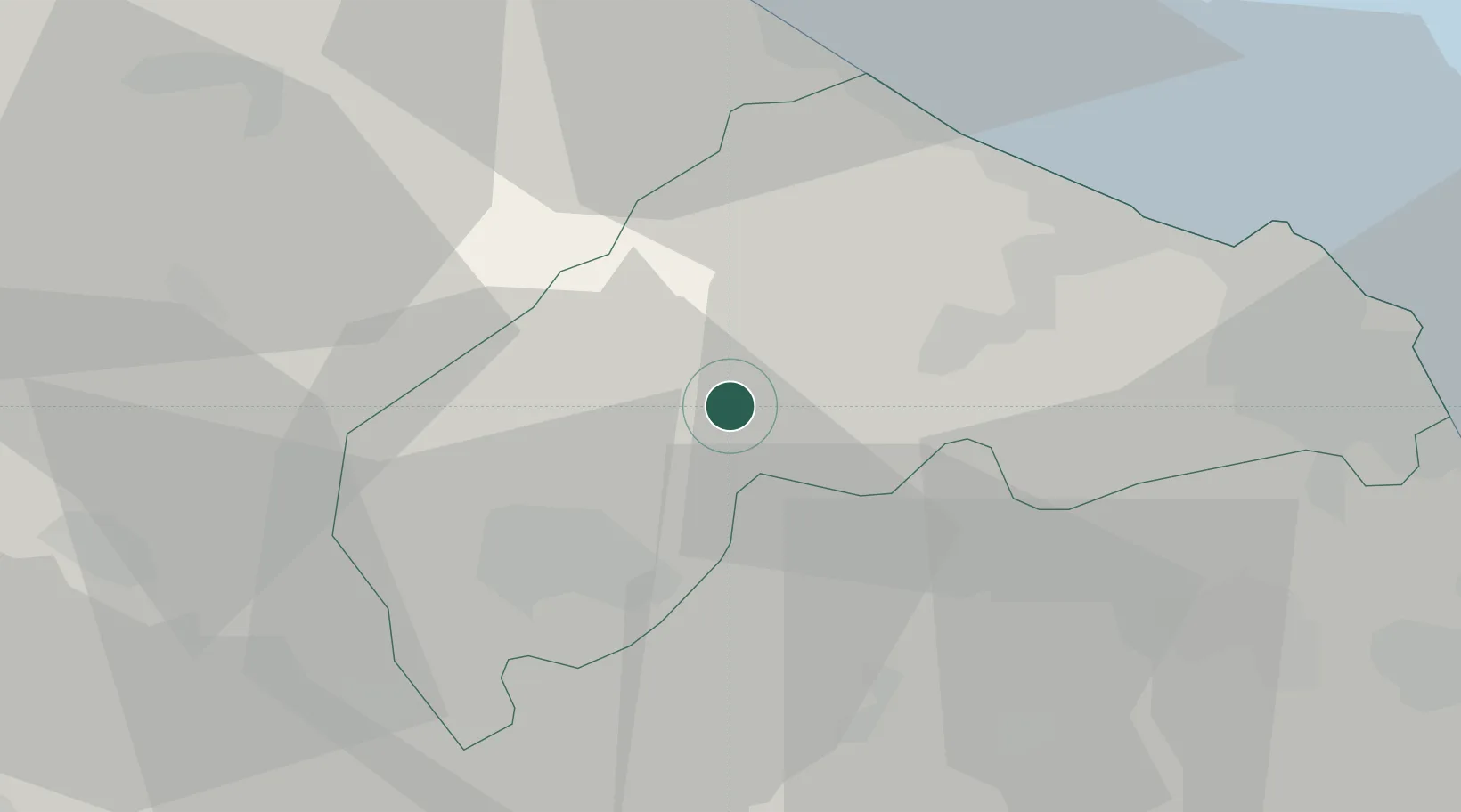
Location
Nearby Logistics Neighbours
Cities
- 1Maiolati Spontini3 km
- 2Moie4 km
- 3Serra San Quirico6 km
- 4Genga12 km
- 5Ostra16 km
Ports
- 1Senigallia30 km
- 2Ancona38 km
- 3Fano42 km
- 4Pesaro51 km
- 5Civitanova Marche57 km
Airports
Trade Zones
- 1Abruzzo Special Economic Zone135 km
- 2Port of Pula Free Zone165 km
- 3Ionian Special Economic Zone211 km
- 4Port of Rijeka Free Zone213 km
- 5Free Port of Venice225 km
DatabookThe Record of Consolidated Knowledge
Italy beyond logistics?