Transport Functions
Multimodal
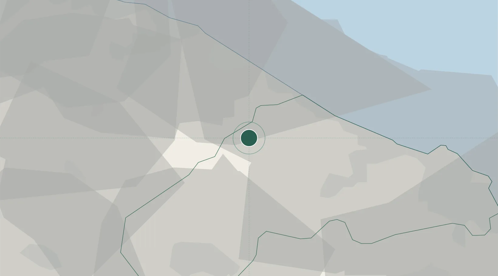
Hub Profile
Place type
District seat
Region
The Marches
Population
2,614
Time zone
Europe/Rome
Elevation
203 m
Location
Nearby Logistics Neighbours
Cities
- 1Ostra9 km
- 2Marotta15 km
- 3Senigallia15 km
- 4Lucrezia16 km
- 5Colli al Metauro17 km
Ports
- 1Senigallia16 km
- 2Fano23 km
- 3Pesaro33 km
- 4Ancona36 km
- 5Rimini61 km
Airports
Trade Zones
DatabookThe Record of Consolidated Knowledge
Italy beyond logistics?