UN/LOCODE hub · Italy
ITZOF

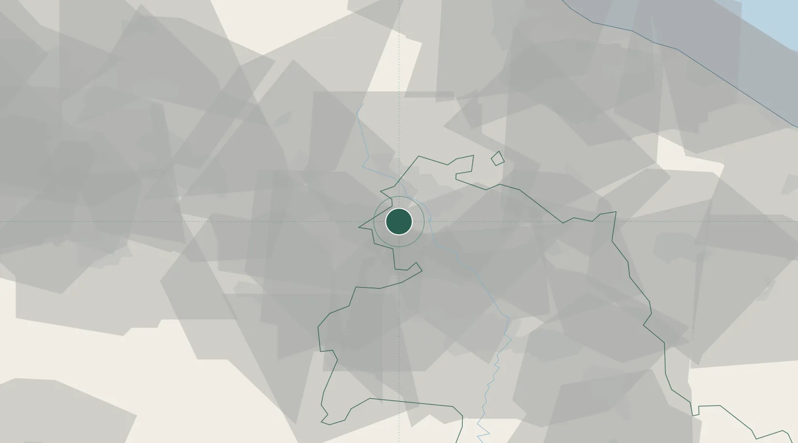
Monte Santa Maria Tiberina

43.4333°, 12.1500°
86
Population
1
Transport functions

Transport Functions

Multimodal
UN/LOCODE

Hub Profile

Place type
District seat
GeoNames
Region
Umbria
GeoNames
Population
86
GeoNames
Time zone
Europe/Rome
GeoNames
Elevation
688 m
GeoNames

Location

Location of ITZOF
Natural Earth 10m (public domain) · Umbria · ITZOF · 43.43, 12.15GoogleOSMYandex

Nearby Logistics Neighbours

Cities
  1. 1Lippiano3 km
  2. 2Monterchi6 km
  3. 3Cerbara8 km
  4. 4San Giustino13 km
  5. 5Sansepolcro15 km
Nearest neighbours — logibook spatial index (haversine) over the source coordinates
Ports
  1. 1Rimini80 km
  2. 2Pesaro82 km
  3. 3Fano84 km
  4. 4Cesenatico89 km
  5. 5Senigallia92 km
Nearest neighbours — logibook spatial index (haversine) over the source coordinates
Trade Zones
  1. 1Abruzzo Special Economic Zone160 km
  2. 2Port of Pula Free Zone208 km
  3. 3Consorzio Zona Industriale e Porto Fluviale di Padova218 km
  4. 4Free Port of Venice223 km
  5. 5Ionian Special Economic Zone243 km
Nearest neighbours — logibook spatial index (haversine) over the source coordinates
DatabookThe Record of Consolidated Knowledge
Italy beyond logistics?
Browse databook

All Sources

LocationsUN/LOCODE
UN/LOCODE — free
LocationsGeoNames
CC BY 4.0
Portsthe NGA World Port Index
Public domain (US gov)
AirportsOurAirports
Public domain
Trade Zonesthe World Bank SEZ database
CC BY 4.0
Trade ZonesOpen Zone Map
CC BY
← Italy locations