Seaport · Italy

CesenaticoITCNT

44.2080°, 12.4080°
Cesenatico is also a UN/LOCODE logistics hub →

Channel & Berth Profile

NGA World Port Index

Facilities & Capabilities

Container
Ro-Ro
Liquid bulk
Dry bulk
Oil terminal
Break bulk
Dry dock
Repairs
Bunkering
Rail link
Dangerous cargo
ISPS security
NGA World Port Index

Harbour Specifications

Harbour size
Small
NGA World Port Index
Water body
Adriatic Sea; Mediterranean Sea; North Atlantic Ocean
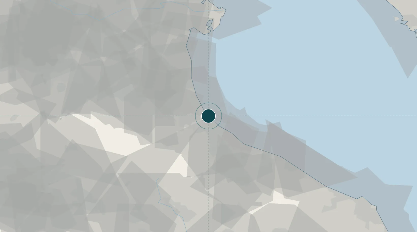
NGA World Port Index

Location

Location of ITCNT
Natural Earth 10m (public domain) · Forlì-Cesena · ITCNT · 44.21, 12.41GoogleOSMYandex

Nearby Logistics Neighbours

Ports
  1. 1Rimini19 km
  2. 2Porto Di Corsini33 km
  3. 3Pesaro50 km
  4. 4Porto Garibaldi54 km
  5. 5Fano62 km
Nearest neighbours — logibook spatial index (haversine) over the source coordinates
Cities
  1. 1Cervia7 km
  2. 2Bellaria8 km
  3. 3Castiglione di Ravenna13 km
  4. 4Santarcangelo di Romagna16 km
  5. 5Rimini21 km
Nearest neighbours — logibook spatial index (haversine) over the source coordinates
Airports
  1. 1Cervia Air Base8 km
  2. 2Federico Fellini International Airport27 km
  3. 3Forlì-Luigi Ridolfi International Airport27 km
  4. 4Bologna Guglielmo Marconi Airport96 km
  5. 5Marche Airport101 km
Nearest neighbours — logibook spatial index (haversine) over the source coordinates
Trade Zones
  1. 1Port of Pula Free Zone135 km
  2. 2Free Port of Venice136 km
  3. 3Consorzio Zona Industriale e Porto Fluviale di Padova137 km
  4. 4Port of Rijeka Free Zone183 km
  5. 5Free Port of Trieste192 km
Nearest neighbours — logibook spatial index (haversine) over the source coordinates
DatabookThe Record of Consolidated Knowledge
Italy beyond logistics?
Browse databook

All Sources

Portsthe NGA World Port Index
Public domain (US gov)
AirportsOurAirports
Public domain
LocationsUN/LOCODE
UN/LOCODE — free
Trade Zonesthe World Bank SEZ database
CC BY 4.0
Trade ZonesOpen Zone Map
CC BY
← Italy ports