Transport Functions
Rail
Road
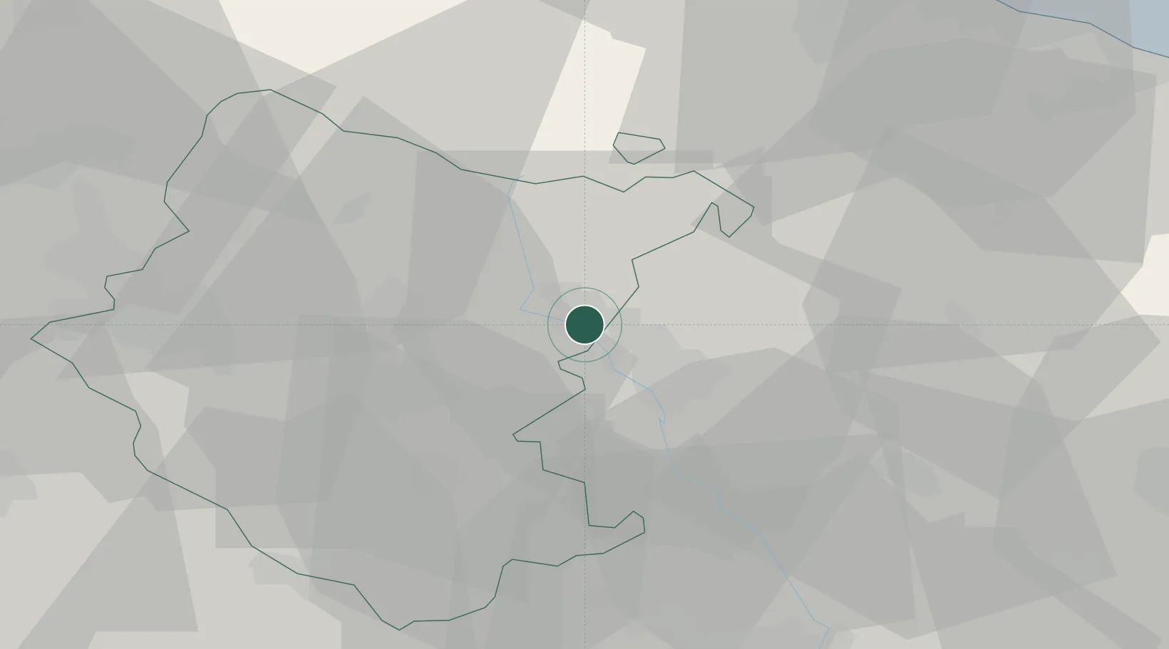
Hub Profile
Place type
District seat
Region
Tuscany
Population
12,364
Time zone
Europe/Rome
Elevation
330 m
Location
Nearby Logistics Neighbours
Cities
- 1San Giustino3 km
- 2Cerbara9 km
- 3Monterchi9 km
- 4Lippiano13 km
- 5Monte Santa Maria Tiberina15 km
Ports
- 1Rimini67 km
- 2Pesaro74 km
- 3Cesenatico75 km
- 4Fano78 km
- 5Senigallia89 km
Airports
Trade Zones
DatabookThe Record of Consolidated Knowledge
Italy beyond logistics?