Transport Functions
Multimodal
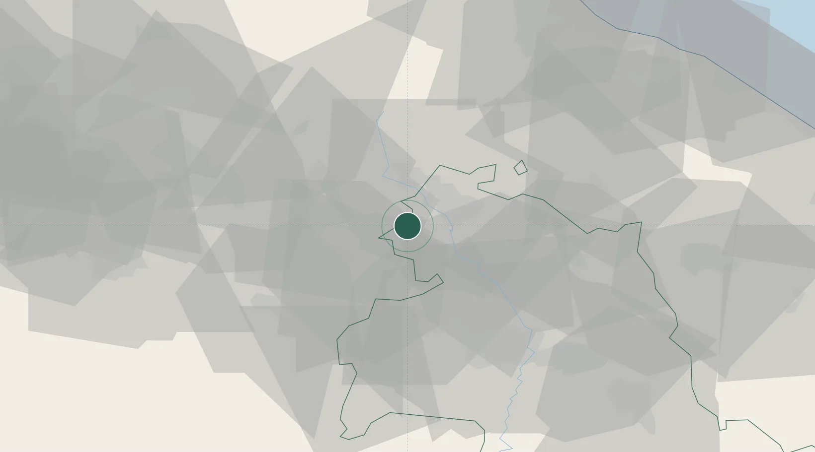
Hub Profile
Place type
Populated place
Region
Umbria
Population
126
Time zone
Europe/Rome
Elevation
401 m
Location
Nearby Logistics Neighbours
Cities
- 1Monte Santa Maria Tiberina3 km
- 2Monterchi4 km
- 3Cerbara9 km
- 4San Giustino12 km
- 5Sansepolcro13 km
Ports
- 1Rimini79 km
- 2Pesaro83 km
- 3Fano85 km
- 4Cesenatico88 km
- 5Senigallia94 km
Airports
Trade Zones
DatabookThe Record of Consolidated Knowledge
Italy beyond logistics?