Transport Functions
Rail
Road
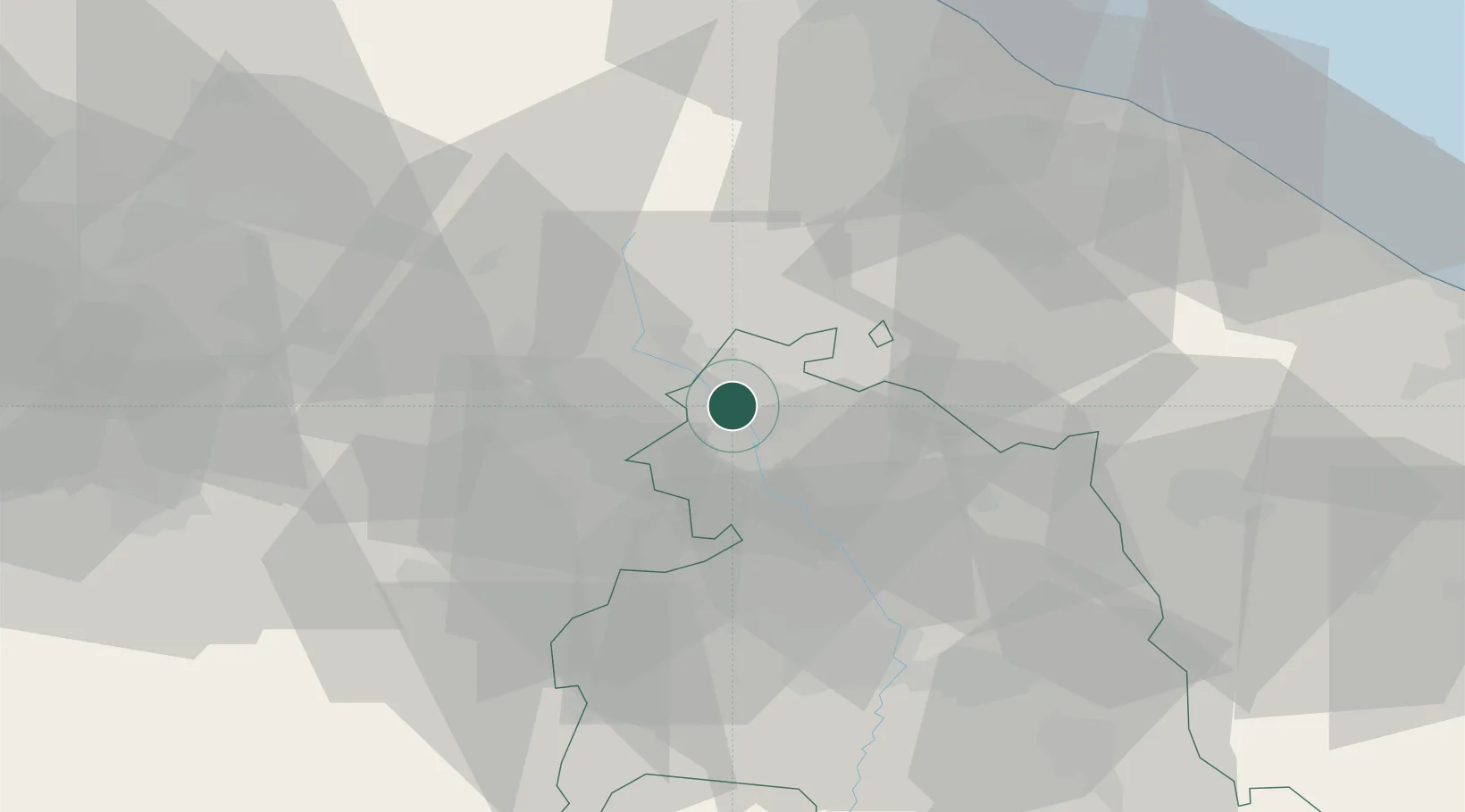
Hub Profile
Place type
Populated place
Region
Umbria
Population
1,955
Time zone
Europe/Rome
Elevation
300 m
Location
Nearby Logistics Neighbours
Cities
- 1San Giustino6 km
- 2Monterchi7 km
- 3Monte Santa Maria Tiberina8 km
- 4Lippiano9 km
- 5Sansepolcro9 km
Ports
- 1Rimini71 km
- 2Pesaro74 km
- 3Fano77 km
- 4Cesenatico81 km
- 5Senigallia86 km
Airports
Trade Zones
DatabookThe Record of Consolidated Knowledge
Italy beyond logistics?