Large airport · Italy

Florence Airport, PeretolaLIRQ
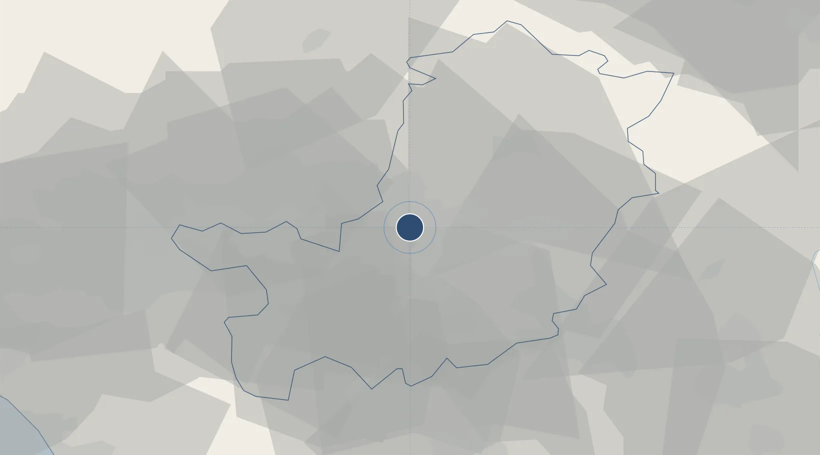
43.8086°, 11.2028°
5,118 ft
Longest runway
1
Runways
142 ft
Elevation

Runway & Layout

Florence Airport, Peretola runway & taxiway layout
Runway & taxiway layout — OpenStreetMap (ODbL) / OurAirports

Radio Frequencies

ATIS
129.35 MHz
TWR
118.3 MHz
FIRENZE TWR
APP
126.075 MHz
OurAirports

Navaids

PRT VOR-DME Peretola 112.50 MHz
OurAirports

Runways · 1

RunwayDimensions SurfaceTrue headingLit
05/23 5,118 × 148ft Asphalt 048°
OurAirports

Airport Specifications

IATA code
FLR
OurAirports
ICAO code
LIRQ
OurAirports
Airport class
Large airport
OurAirports
Scheduled service
Yes
OurAirports
Runway surface
Asphalt
OurAirports
Served city
Firenze (FI)
OurAirports

Location

Location of LIRQ
Natural Earth 10m (public domain) · Firenze · LIRQ · 43.81, 11.20GoogleOSMYandex

Nearby Logistics Neighbours

Airports
  1. 1Siena-Ampugnano Airport62 km
  2. 2Pisa International Airport67 km
  3. 3Bologna Guglielmo Marconi Airport81 km
  4. 4Forlì-Luigi Ridolfi International Airport82 km
  5. 5Cervia Air Base100 km
Nearest neighbours — logibook spatial index (haversine) over the source coordinates
Cities
  1. 1Peretola3 km
  2. 2Badia a Settimo5 km
  3. 3San Giorgio a Colonica9 km
  4. 4Signa10 km
  5. 5Poggio a Caiano12 km
Nearest neighbours — logibook spatial index (haversine) over the source coordinates
Ports
  1. 1Viareggio78 km
  2. 2Livorno79 km
  3. 3Vada79 km
  4. 4Marina Di Carrara96 km
  5. 5Cesenatico106 km
Nearest neighbours — logibook spatial index (haversine) over the source coordinates
Trade Zones
  1. 1Consorzio Zona Industriale e Porto Fluviale di Padova185 km
  2. 2Free Port of Venice201 km
  3. 3Port of Pula Free Zone240 km
  4. 4Abruzzo Special Economic Zone242 km
  5. 5Free Port of Trieste287 km
Nearest neighbours — logibook spatial index (haversine) over the source coordinates
DatabookThe Record of Consolidated Knowledge
Italy beyond logistics?
Browse databook

All Sources

AirportsOurAirports
Public domain
Portsthe NGA World Port Index
Public domain (US gov)
LocationsUN/LOCODE
UN/LOCODE — free
Trade Zonesthe World Bank SEZ database
CC BY 4.0
Trade ZonesOpen Zone Map
CC BY
InfrastructureOpenStreetMap
ODbL 1.0
← Italy airports