Transport Functions
Multimodal
Hub Profile
Place type
District seat
Region
The Marches
Population
3,491
Time zone
Europe/Rome
Elevation
264 m
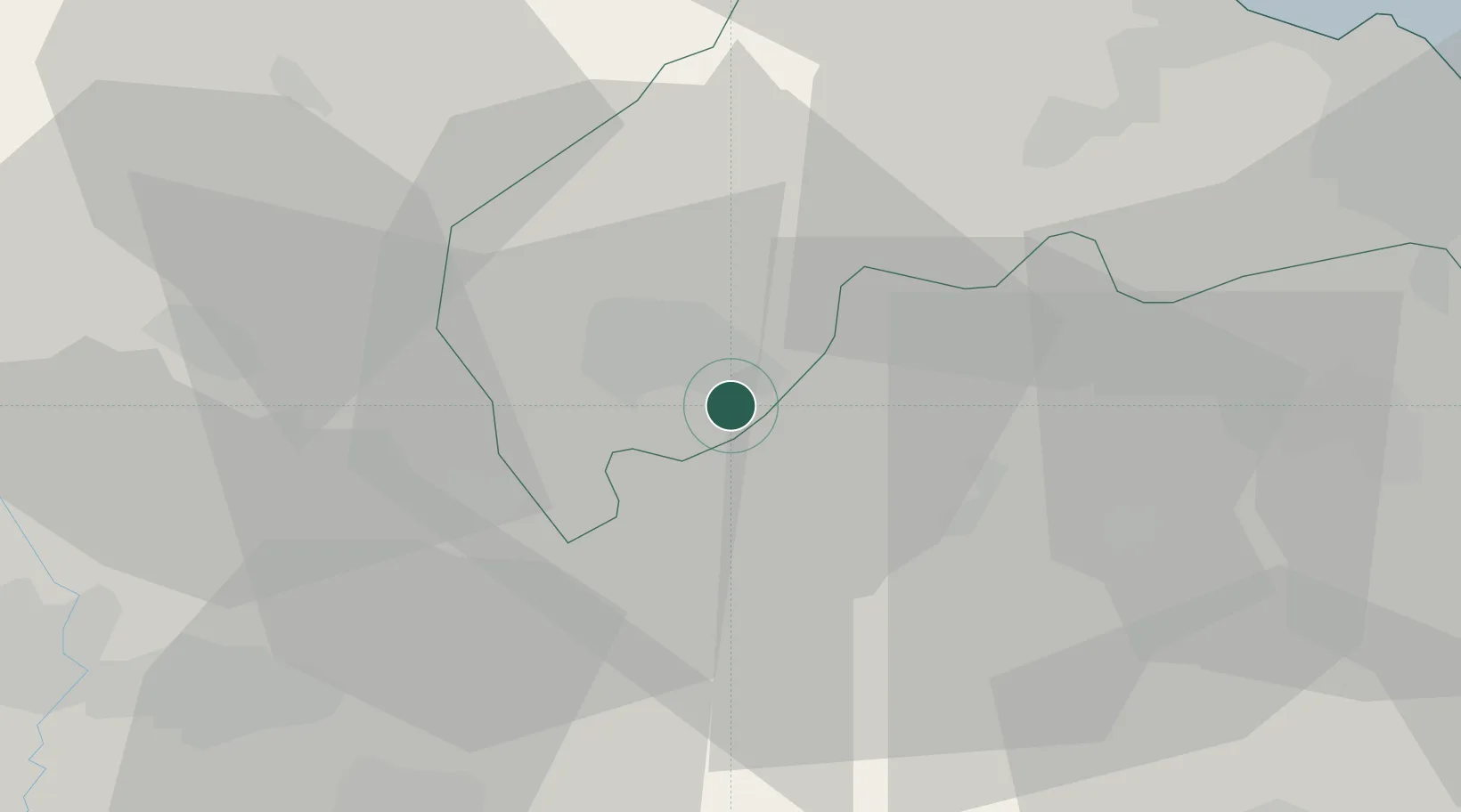
Location
Nearby Logistics Neighbours
Cities
- 1Matelica8 km
- 2Esanatoglia8 km
- 3Genga14 km
- 4Serra San Quirico15 km
- 5Sassoferrato16 km
Ports
- 1Senigallia49 km
- 2Ancona54 km
- 3Fano60 km
- 4Civitanova Marche61 km
- 5Pesaro68 km
Airports
Trade Zones
- 1Abruzzo Special Economic Zone118 km
- 2Port of Pula Free Zone185 km
- 3Ionian Special Economic Zone196 km
- 4Port of Rijeka Free Zone232 km
- 5Free Port of Venice241 km
DatabookThe Record of Consolidated Knowledge
Italy beyond logistics?