Transport Functions
Multimodal
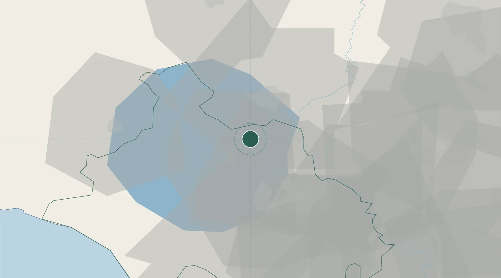
Hub Profile
Place type
District seat
Region
Lazio
Population
2,326
Time zone
Europe/Rome
Elevation
484 m
Location
Nearby Logistics Neighbours
Cities
- 1Castiglione in Teverina10 km
- 2Castel Viscardo16 km
- 3Attigliano20 km
- 4Soriano nel Cimino25 km
- 5Todi32 km
Ports
- 1Civitavecchia63 km
- 2Porto Ercole75 km
- 3Porto Santo Stefano81 km
- 4Fiumicino95 km
- 5Giglio Porto99 km
Airports
Trade Zones
DatabookThe Record of Consolidated Knowledge
Italy beyond logistics?