UN/LOCODE hub · Italy
ITSOC
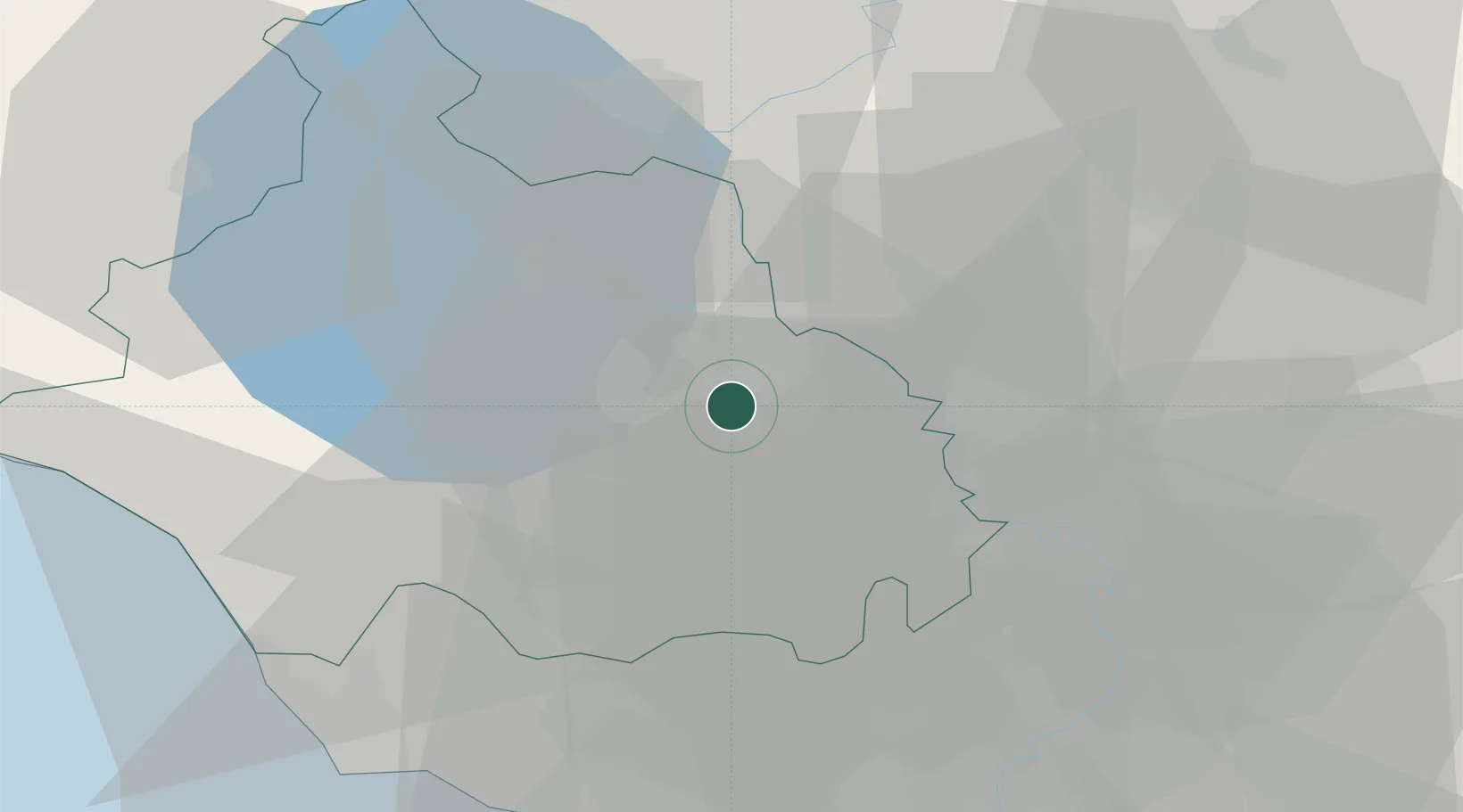
Soriano nel Cimino
42.4167°, 12.2333°
5,553
Population
2
Transport functions
Transport Functions
Rail
Road
Hub Profile
Place type
District seat
Region
Lazio
Population
5,553
Time zone
Europe/Rome
Elevation
480 m
Location
Nearby Logistics Neighbours
Cities
- 1Caprarola11 km
- 2Attigliano12 km
- 3Corchiano13 km
- 4Sutri20 km
- 5Otricoli21 km
Ports
- 1Civitavecchia52 km
- 2Fiumicino72 km
- 3Porto Ercole84 km
- 4Porto Santo Stefano91 km
- 5Giglio Porto108 km
Airports
Trade Zones
DatabookThe Record of Consolidated Knowledge
Italy beyond logistics?