Transport Functions
Rail
Road
Hub Profile
Place type
District seat
Region
Umbria
Population
1,754
Time zone
Europe/Rome
Elevation
95 m
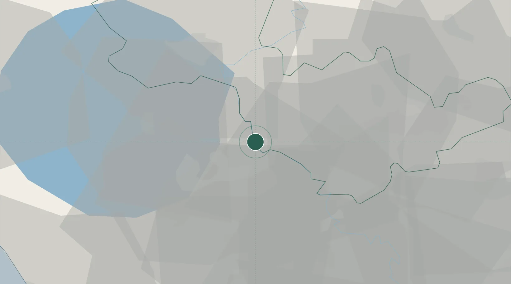
Location
Nearby Logistics Neighbours
Cities
- 1Soriano nel Cimino12 km
- 2Castiglione in Teverina16 km
- 3Narni19 km
- 4Bagnoregio20 km
- 5Otricoli20 km
Ports
- 1Civitavecchia63 km
- 2Fiumicino83 km
- 3Porto Ercole89 km
- 4Porto Santo Stefano96 km
- 5Giglio Porto113 km
Airports
DatabookThe Record of Consolidated Knowledge
Italy beyond logistics?