Transport Functions
Multimodal
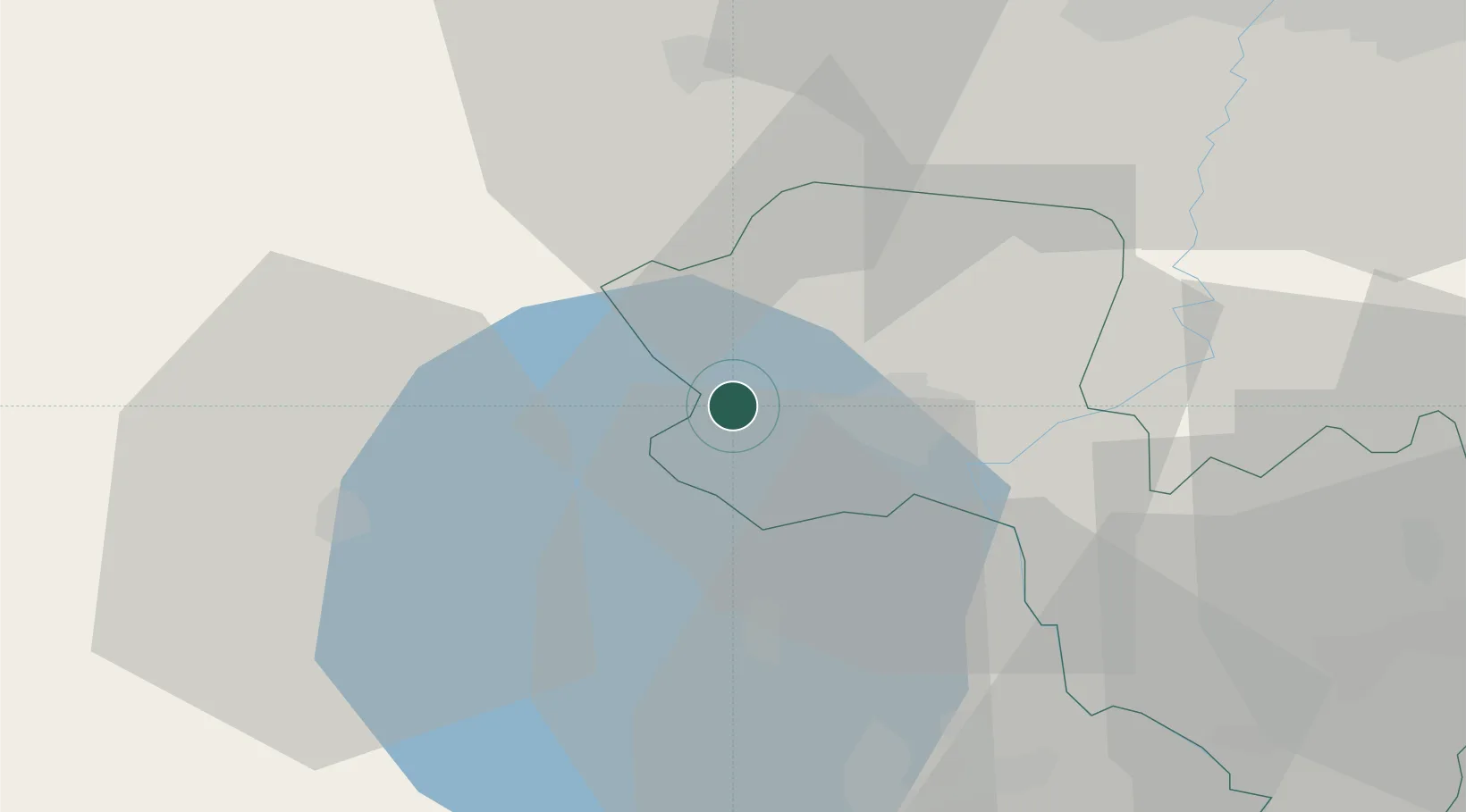
Hub Profile
Place type
District seat
Region
Umbria
Population
1,085
Time zone
Europe/Rome
Elevation
507 m
Location
Nearby Logistics Neighbours
Cities
- 1San Casciano dei Bagni16 km
- 2Bagnoregio16 km
- 3Castiglione in Teverina20 km
- 4Radicofani25 km
- 5Chiusi30 km
Ports
- 1Civitavecchia75 km
- 2Porto Ercole75 km
- 3Porto Santo Stefano80 km
- 4Giglio Porto98 km
- 5Fiumicino110 km
Airports
Trade Zones
DatabookThe Record of Consolidated Knowledge
Italy beyond logistics?