Transport Functions
Rail
Road
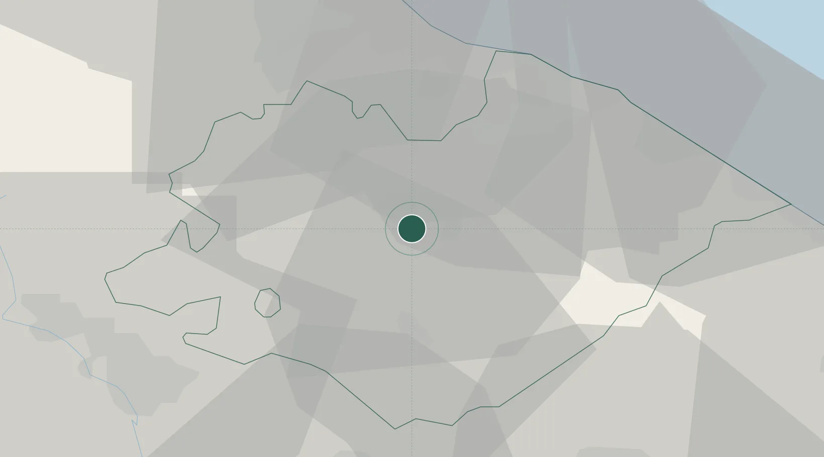
Hub Profile
Place type
District seat
Region
The Marches
Population
5,858
Time zone
Europe/Rome
Elevation
485 m
Location
Nearby Logistics Neighbours
Cities
- 1Fossombrone14 km
- 2Gallo di Petriano16 km
- 3Vallefoglia17 km
- 4Sant'Angelo in Vado18 km
- 5Colli al Metauro20 km
Ports
- 1Pesaro32 km
- 2Fano35 km
- 3Rimini41 km
- 4Senigallia47 km
- 5Cesenatico58 km
Airports
Trade Zones
DatabookThe Record of Consolidated Knowledge
Italy beyond logistics?