UN/LOCODE hub · Italy
IT6CM

Colli al Metauro

43.7500°, 12.8833°
1
Transport functions

Transport Functions

Multimodal
UN/LOCODE

Hub Profile

Region
PU
GeoNames

Location

Location of IT6CM
Natural Earth 10m (public domain) · PU · IT6CM · 43.75, 12.88GoogleOSMYandex

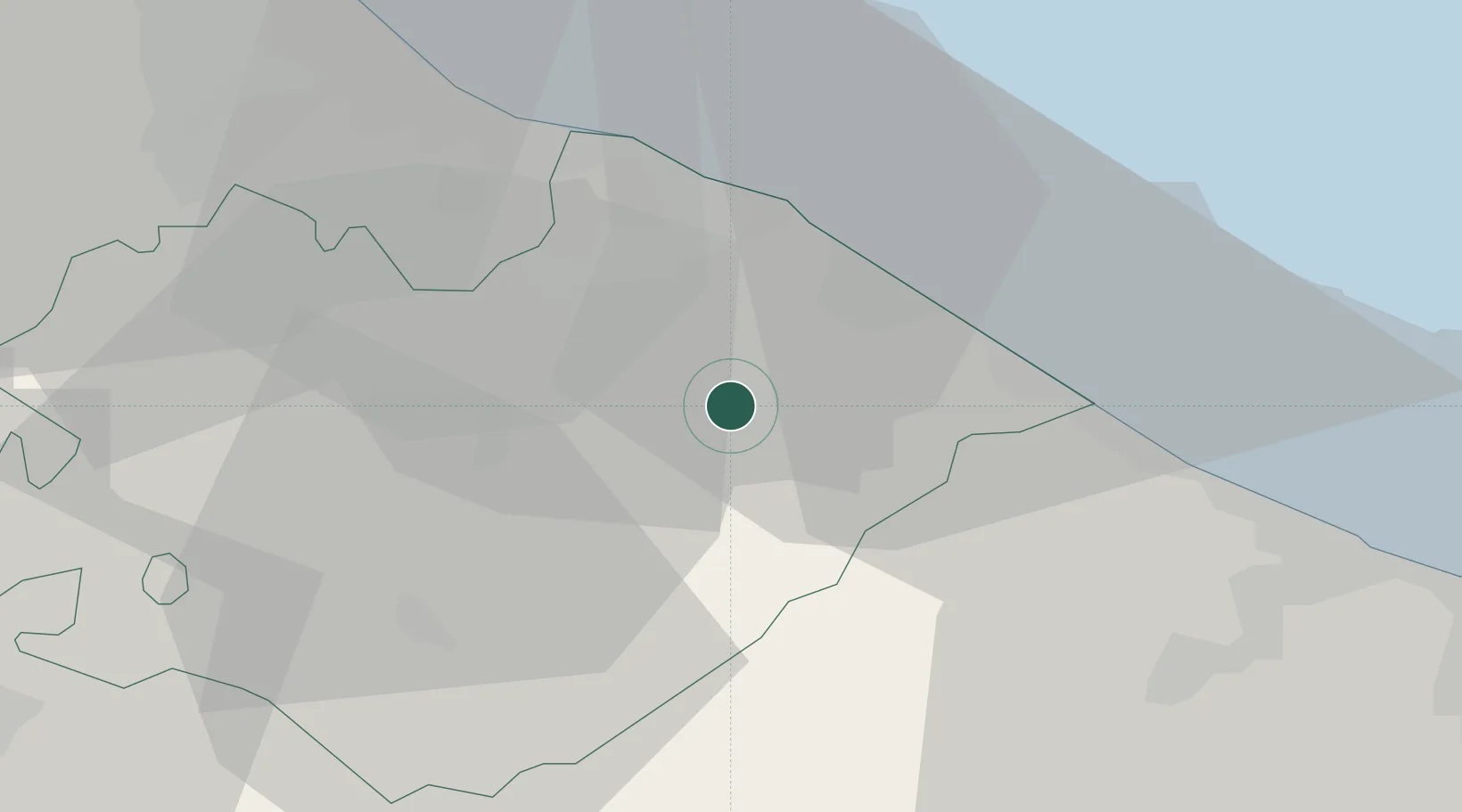
Nearby Logistics Neighbours

Cities
  1. 1Lucrezia4 km
  2. 2Vallefoglia10 km
  3. 3Fossombrone10 km
  4. 4Fano14 km
  5. 5Pesaro17 km
Nearest neighbours — logibook spatial index (haversine) over the source coordinates
Ports
  1. 1Fano16 km
  2. 2Pesaro20 km
  3. 3Senigallia27 km
  4. 4Rimini44 km
  5. 5Ancona51 km
Nearest neighbours — logibook spatial index (haversine) over the source coordinates
Airports
  1. 1Federico Fellini International Airport37 km
  2. 2Marche Airport41 km
  3. 3Cervia Air Base70 km
  4. 4Perugia San Francesco d'Assisi – Umbria International Airport79 km
  5. 5Forlì-Luigi Ridolfi International Airport82 km
Nearest neighbours — logibook spatial index (haversine) over the source coordinates
Trade Zones
  1. 1Port of Pula Free Zone145 km
  2. 2Abruzzo Special Economic Zone167 km
  3. 3Free Port of Venice192 km
  4. 4Port of Rijeka Free Zone194 km
  5. 5Consorzio Zona Industriale e Porto Fluviale di Padova197 km
Nearest neighbours — logibook spatial index (haversine) over the source coordinates
DatabookThe Record of Consolidated Knowledge
Italy beyond logistics?
Browse databook

All Sources

LocationsUN/LOCODE
UN/LOCODE — free
Portsthe NGA World Port Index
Public domain (US gov)
AirportsOurAirports
Public domain
Trade Zonesthe World Bank SEZ database
CC BY 4.0
Trade ZonesOpen Zone Map
CC BY
← Italy locations