About
Methodology
Sources
Licensing
English
EN
English
TR
Türkçe
DE
Deutsch
FR
Français
ES
Español
IT
Italiano
PT
Português
NL
Nederlands
PL
Polski
RU
Русский
UK
Українська
CS
Čeština
RO
Română
EL
Ελληνικά
BG
Български
AR
العربية
FA
فارسی
UR
اردو
HI
हिन्दी
BN
বাংলা
ID
Bahasa Indonesia
VI
Tiếng Việt
ZH
中文
JA
日本語
KO
한국어
logibook
/
Countries
/
Italy
/
Locations
/
Gallo di Petriano
UN/LOCODE hub ·
Italy
IT
ZYJ
Gallo di Petriano
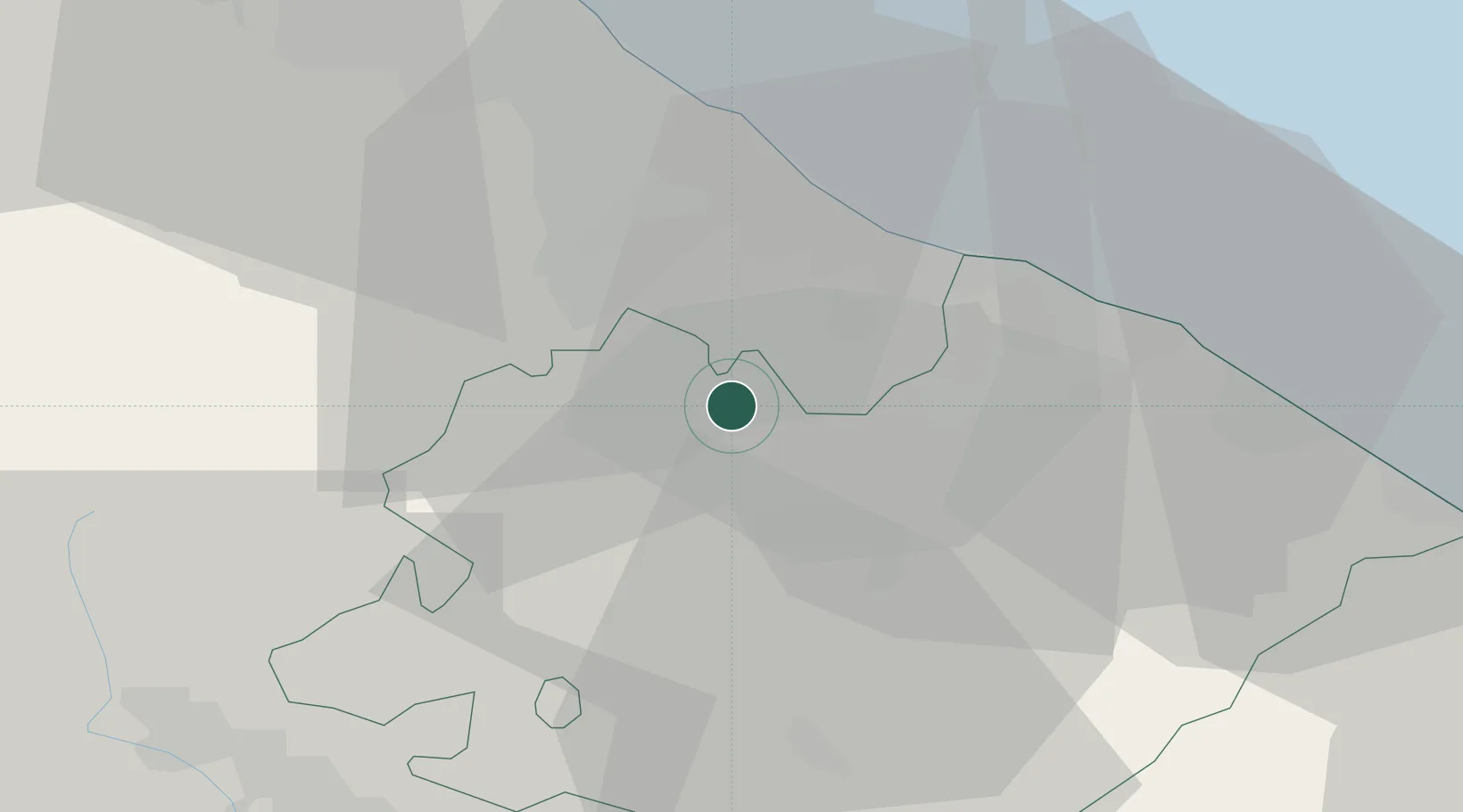
43.8500°, 12.5667°
1
Transport functions
Transport Functions
Multimodal
UN/LOCODE
Location
Natural Earth 10m (public domain) · Pesaro e Urbino · ITZYJ · 43.85, 12.57
Google ↗
OSM ↗
Yandex ↗
Nearby Logistics Neighbours
Cities
1
Gemmano
7 km
2
Taverna
8 km
3
Cerasolo
15 km
4
Urbino
16 km
5
Riccione
16 km
Nearest neighbours — logibook spatial index (haversine) over the source coordinates
Ports
1
Rimini
26 km
2
Pesaro
28 km
3
Fano
36 km
4
Cesenatico
42 km
5
Senigallia
54 km
Nearest neighbours — logibook spatial index (haversine) over the source coordinates
Airports
1
Federico Fellini International Airport
19 km
2
Cervia Air Base
47 km
3
Forlì-Luigi Ridolfi International Airport
55 km
4
Marche Airport
69 km
5
Perugia San Francesco d'Assisi – Umbria International Airport
84 km
Nearest neighbours — logibook spatial index (haversine) over the source coordinates
Trade Zones
1
Port of Pula Free Zone
151 km
2
Free Port of Venice
177 km
3
Consorzio Zona Industriale e Porto Fluviale di Padova
179 km
4
Abruzzo Special Economic Zone
185 km
5
Port of Rijeka Free Zone
201 km
Nearest neighbours — logibook spatial index (haversine) over the source coordinates
Data
book
The Record of Consolidated Knowledge
Italy beyond logistics?
Browse databook
→
All Sources
Locations
UN/LOCODE
UN/LOCODE — free
↗
Ports
the NGA World Port Index
Public domain (US gov)
↗
Airports
OurAirports
Public domain
↗
Trade Zones
the World Bank SEZ database
CC BY 4.0
↗
Trade Zones
Open Zone Map
CC BY
↗
← Italy locations