UN/LOCODE hub · Italy
ITSAX
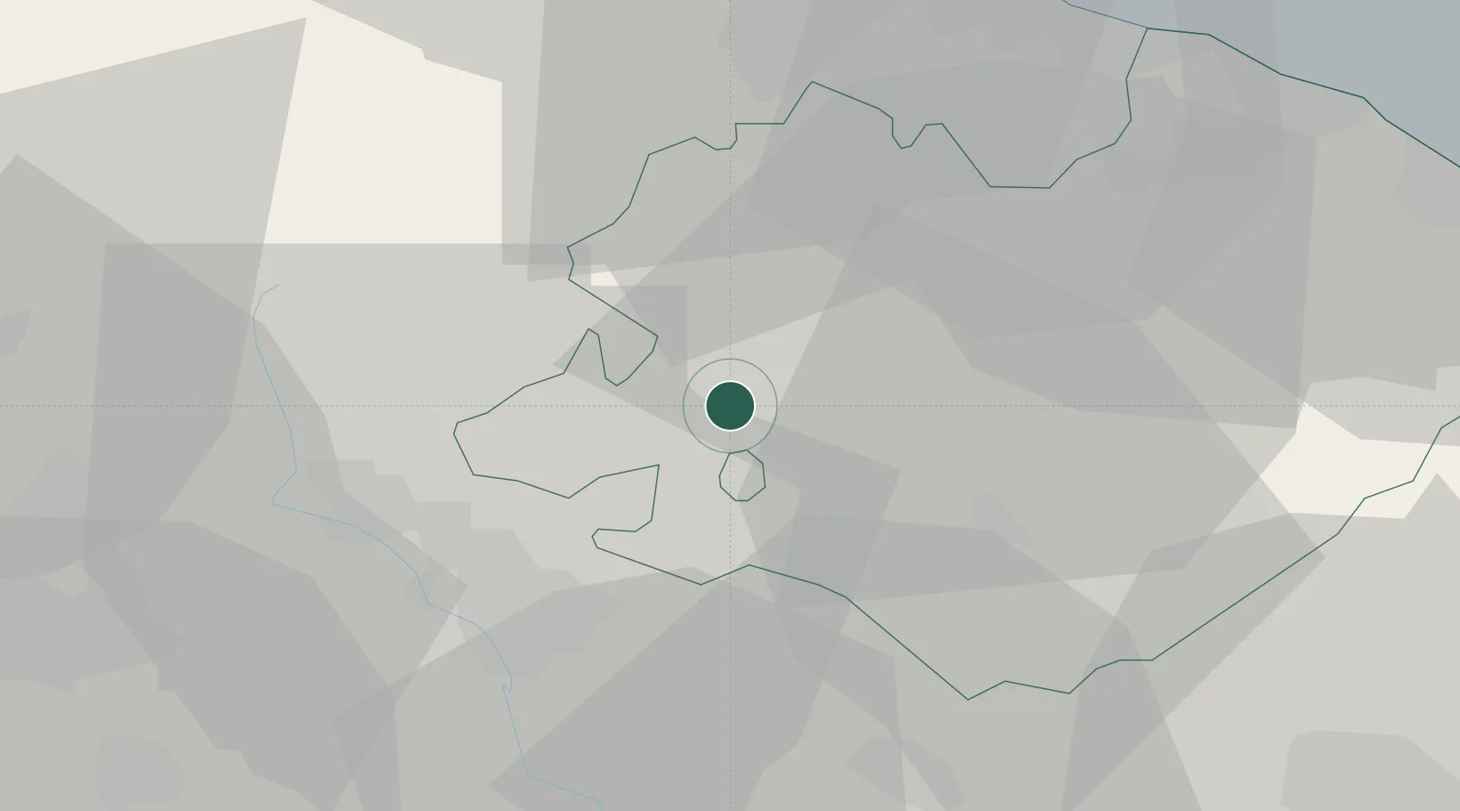
Sant'Angelo in Vado
43.6667°, 12.4167°
3,638
Population
1
Transport functions
Transport Functions
Multimodal
Hub Profile
Place type
District seat
Region
The Marches
Population
3,638
Time zone
Europe/Rome
Elevation
359 m
Location
Nearby Logistics Neighbours
Cities
- 1Urbino18 km
- 2Gallo di Petriano24 km
- 3San Giustino24 km
- 4Sansepolcro25 km
- 5Cerbara26 km
Ports
- 1Rimini48 km
- 2Pesaro49 km
- 3Fano53 km
- 4Cesenatico60 km
- 5Senigallia65 km
Airports
Trade Zones
DatabookThe Record of Consolidated Knowledge
Italy beyond logistics?