UN/LOCODE hub · Italy
ITV5F

Vallefoglia

43.8167°, 12.8000°
1
Transport functions

Transport Functions

Multimodal
UN/LOCODE

Hub Profile

Region
PU
GeoNames

Location

Location of ITV5F
Natural Earth 10m (public domain) · PU · ITV5F · 43.82, 12.80GoogleOSMYandex

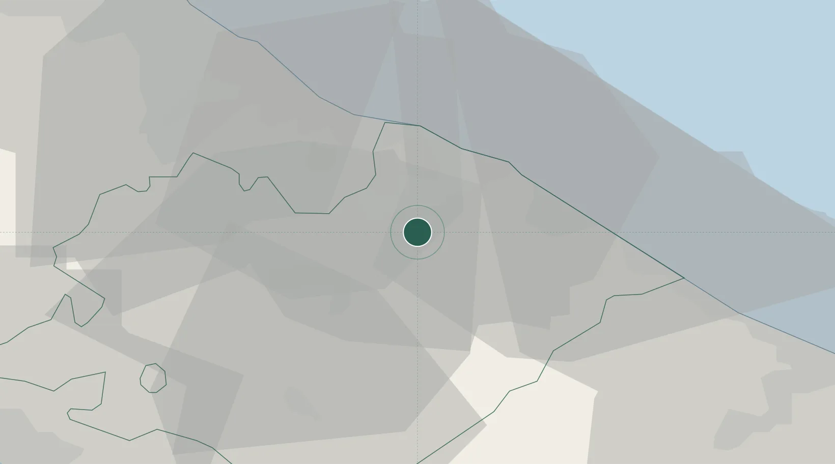
Nearby Logistics Neighbours

Cities
  1. 1Colli al Metauro10 km
  2. 2Lucrezia12 km
  3. 3Pesaro13 km
  4. 4Fossombrone15 km
  5. 5Gabicce Mare17 km
Nearest neighbours — logibook spatial index (haversine) over the source coordinates
Ports
  1. 1Pesaro15 km
  2. 2Fano18 km
  3. 3Rimini35 km
  4. 4Senigallia35 km
  5. 5Cesenatico54 km
Nearest neighbours — logibook spatial index (haversine) over the source coordinates
Airports
  1. 1Federico Fellini International Airport27 km
  2. 2Marche Airport50 km
  3. 3Cervia Air Base60 km
  4. 4Forlì-Luigi Ridolfi International Airport72 km
  5. 5Perugia San Francesco d'Assisi – Umbria International Airport83 km
Nearest neighbours — logibook spatial index (haversine) over the source coordinates
Trade Zones
  1. 1Port of Pula Free Zone143 km
  2. 2Abruzzo Special Economic Zone176 km
  3. 3Free Port of Venice184 km
  4. 4Consorzio Zona Industriale e Porto Fluviale di Padova188 km
  5. 5Port of Rijeka Free Zone192 km
Nearest neighbours — logibook spatial index (haversine) over the source coordinates
DatabookThe Record of Consolidated Knowledge
Italy beyond logistics?
Browse databook

All Sources

LocationsUN/LOCODE
UN/LOCODE — free
Portsthe NGA World Port Index
Public domain (US gov)
AirportsOurAirports
Public domain
Trade Zonesthe World Bank SEZ database
CC BY 4.0
Trade ZonesOpen Zone Map
CC BY
← Italy locations