UN/LOCODE hub · Italy
ITFOS

Fossombrone

43.6833°, 12.8000°
6,808
Population
2
Transport functions

Transport Functions

Rail
Road
UN/LOCODE

Hub Profile

Place type
District seat
GeoNames
Region
The Marches
GeoNames
Population
6,808
GeoNames
Time zone
Europe/Rome
GeoNames
Elevation
118 m
GeoNames

Location

Location of ITFOS
Natural Earth 10m (public domain) · The Marches · ITFOS · 43.68, 12.80GoogleOSMYandex

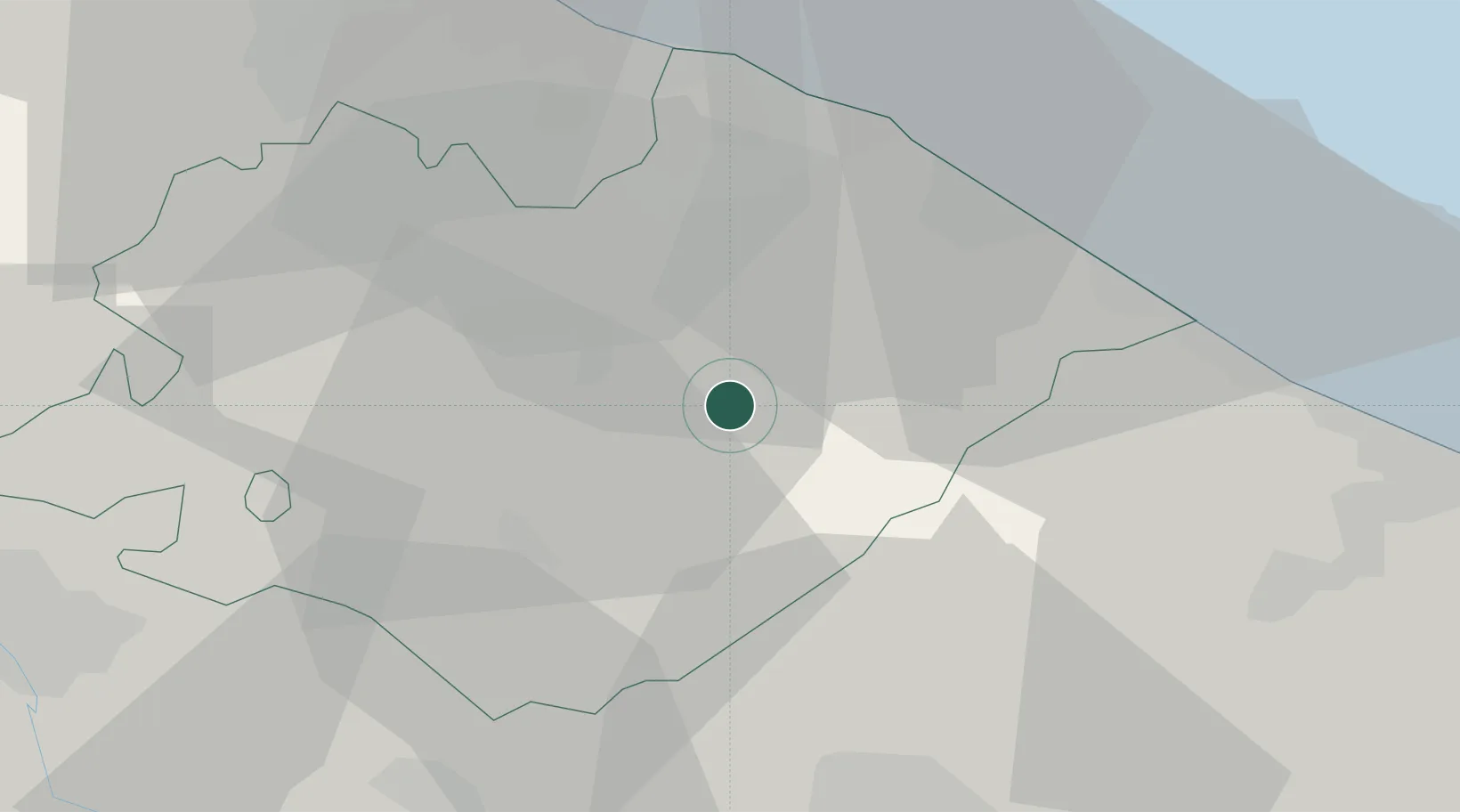
Nearby Logistics Neighbours

Cities
  1. 1Colli al Metauro10 km
  2. 2Urbino14 km
  3. 3Lucrezia14 km
  4. 4Vallefoglia15 km
  5. 5Corinaldo20 km
Nearest neighbours — logibook spatial index (haversine) over the source coordinates
Ports
  1. 1Fano26 km
  2. 2Pesaro28 km
  3. 3Senigallia34 km
  4. 4Rimini48 km
  5. 5Ancona56 km
Nearest neighbours — logibook spatial index (haversine) over the source coordinates
Airports
  1. 1Federico Fellini International Airport40 km
  2. 2Marche Airport46 km
  3. 3Perugia San Francesco d'Assisi – Umbria International Airport69 km
  4. 4Cervia Air Base72 km
  5. 5Forlì-Luigi Ridolfi International Airport82 km
Nearest neighbours — logibook spatial index (haversine) over the source coordinates
Trade Zones
  1. 1Port of Pula Free Zone155 km
  2. 2Abruzzo Special Economic Zone161 km
  3. 3Free Port of Venice198 km
  4. 4Consorzio Zona Industriale e Porto Fluviale di Padova202 km
  5. 5Port of Rijeka Free Zone204 km
Nearest neighbours — logibook spatial index (haversine) over the source coordinates
DatabookThe Record of Consolidated Knowledge
Italy beyond logistics?
Browse databook

All Sources

LocationsUN/LOCODE
UN/LOCODE — free
LocationsGeoNames
CC BY 4.0
Portsthe NGA World Port Index
Public domain (US gov)
AirportsOurAirports
Public domain
Trade Zonesthe World Bank SEZ database
CC BY 4.0
Trade ZonesOpen Zone Map
CC BY
← Italy locations