Transport Functions
Port
Road
Hub Profile
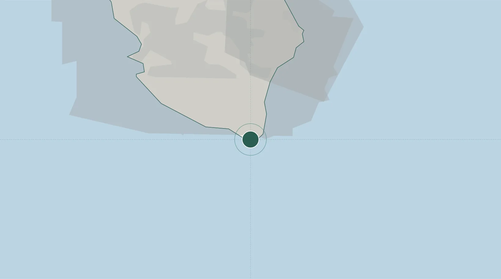
Place type
Populated place
Region
Apulia
Population
1,263
Time zone
Europe/Rome
Elevation
17 m
Location
Nearby Logistics Neighbours
Cities
- 1Gagliano del Capo4 km
- 2Tricase15 km
- 3Castro Marina21 km
- 4Torre San Giovanni d'Ugento21 km
- 5Ugento22 km
Ports
- 1Otranto41 km
- 2Gallipoli43 km
- 3Brindisi100 km
- 4Ciro Marina114 km
- 5Vlore123 km
Airports
Trade Zones
- 1Vlora Technical and Economic Development Area121 km
- 2Fier Freezone146 km
- 3Gjirokastër Freezone157 km
- 4Përmet Freezone178 km
- 5Calabria Special Economic Zone190 km
DatabookThe Record of Consolidated Knowledge
Italy beyond logistics?